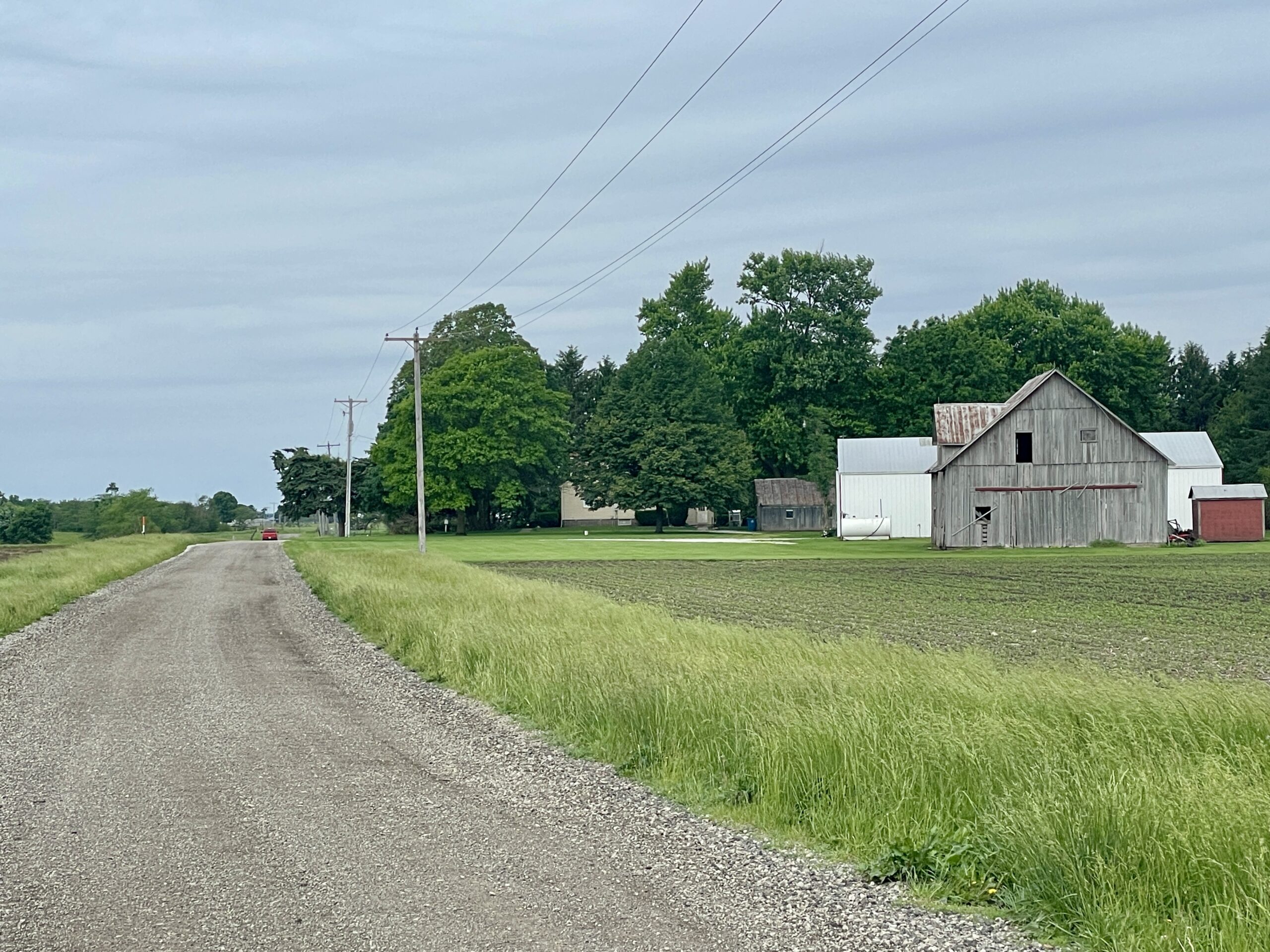
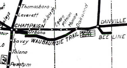
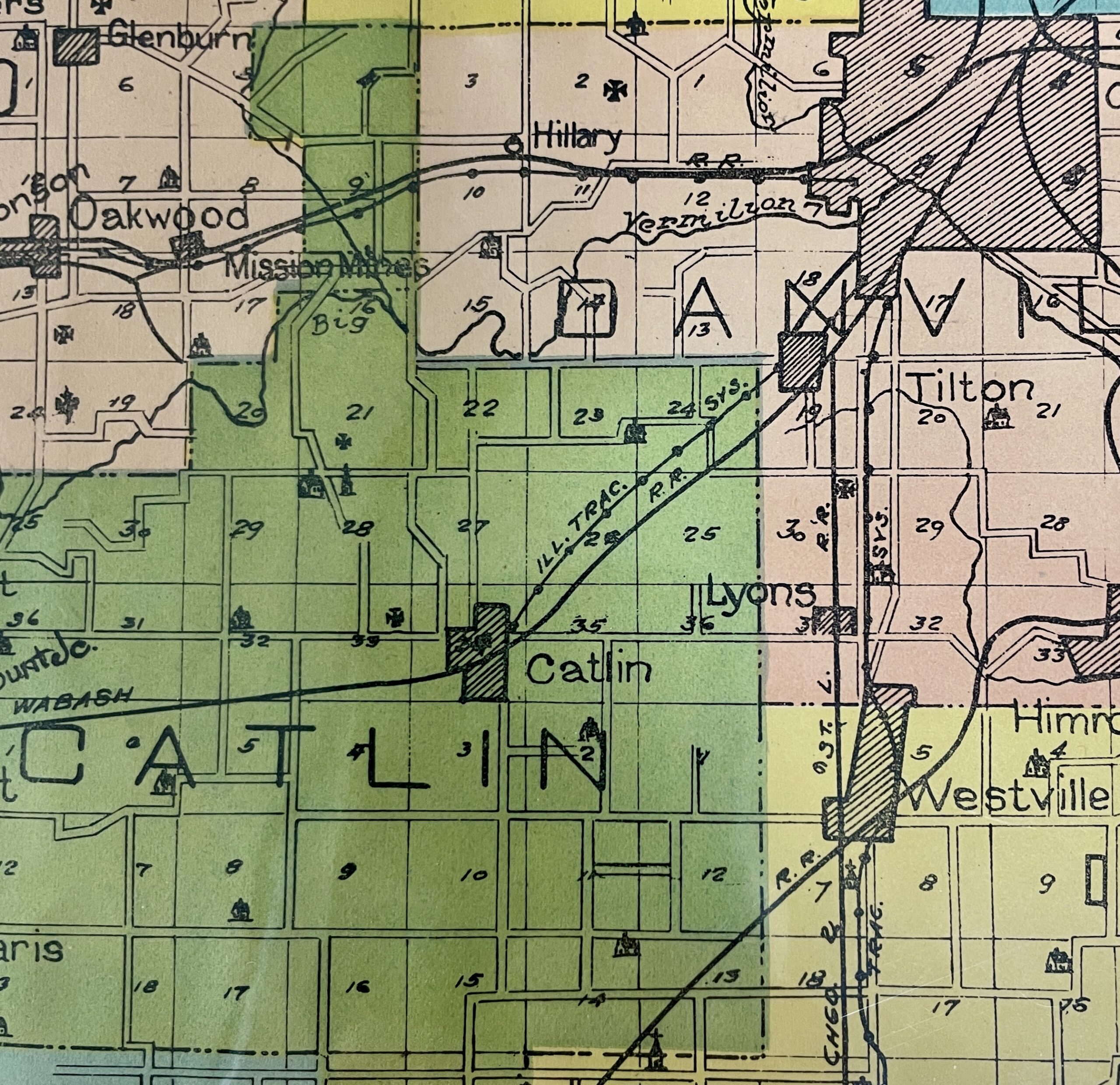
In this segment on the Waubonsie Trail in East Central Illinois, we attempt to trace the route the trail took west from Danville into Champaign County. As I wrote in Part One, early newspaper accounts reported the the trail’s original 1912 alignment took it southwest from Danville through Tilton and Catlin, then west to Homer, where it turned back north to join the Old State Road near present Homer Lake.
From the outset, there seemed to be some dispute over this original route choice. The Urbana Daily Courier (Aug. 12, 1912), reported that certain “Champaign men” claimed “that the route leading east out of Urbana on the state road, past Homer park, and through Homer and thence on the old pike road to Danville is broken and consequently is not the best route for the trail.”
“Urbana men,” on the other hand, “found good, straight roads” along that route.” For whatever reason, the less direct route west from Danville through Homer, despite its alleged “brokenness,” initially won the day.
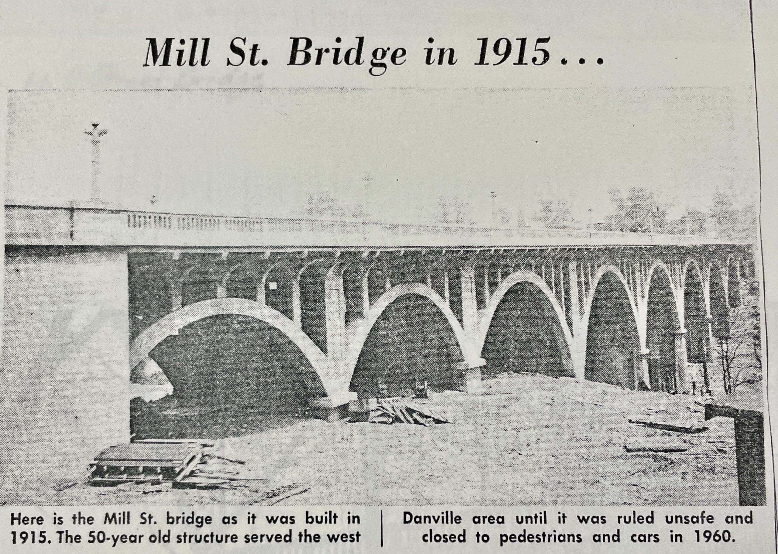
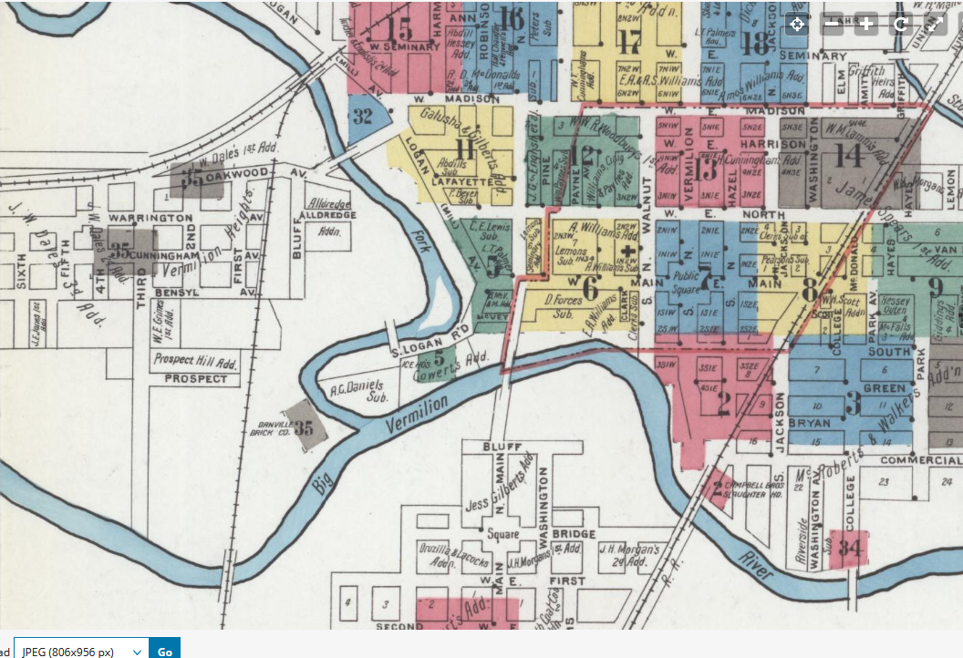
By the time the first “Marked Auto Trails” map (section at top) was published in 1917, the Waubonsie was shown north of the original route, going west out of Danville to Batesville, across the Vermilion River bottoms, and on to Oakwood. What precipitated this change was most likely the construction of the Mill Street Bridge high over the Middle Fork of the Vermilion River in 1915. Now travelers could drive directly west from downtown Danville across the bridge and connect with Oakwood Avenue.
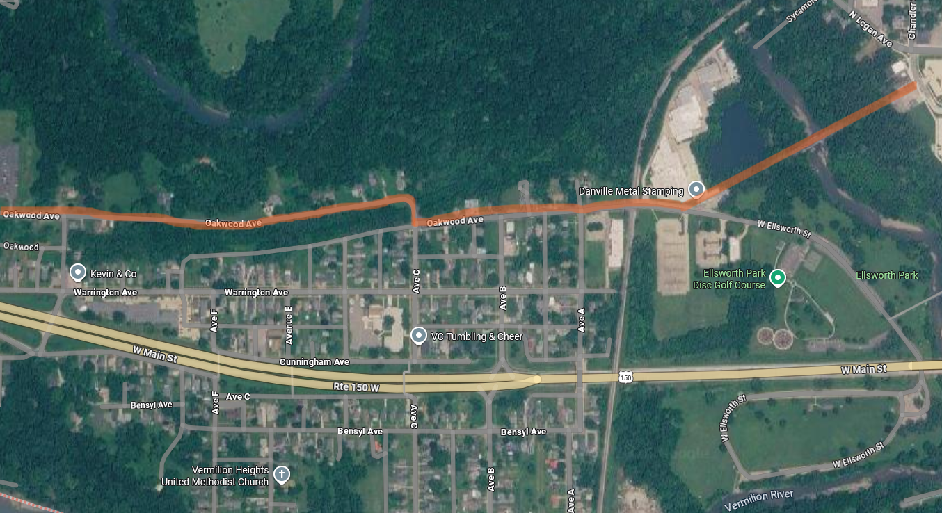
The new alignment followed Oakwood Avenue west, jogging north across the “Big Four” railroad tracks and continuing for two miles to Batestown Road (route highlighted in orange, Google Maps image).
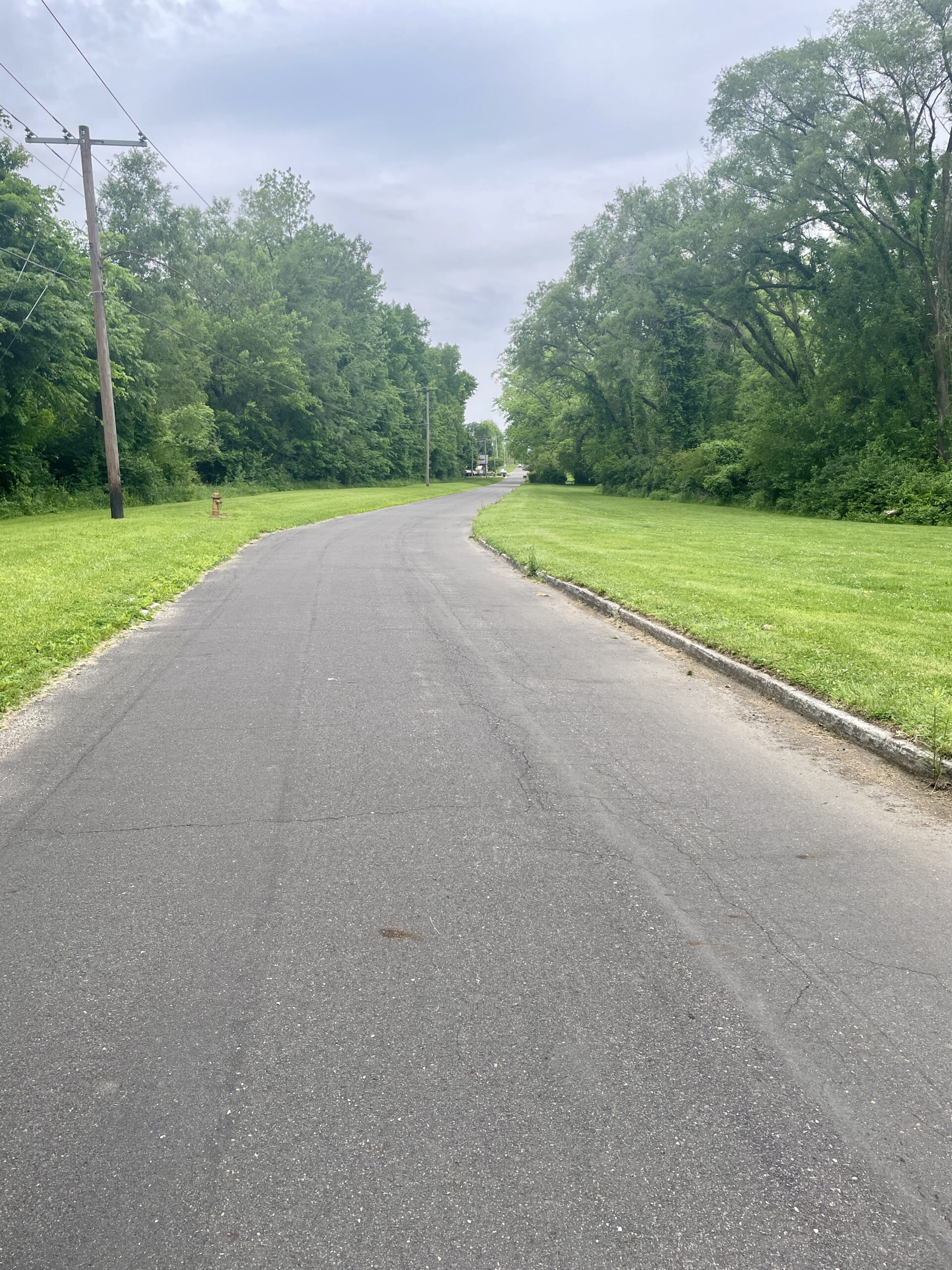
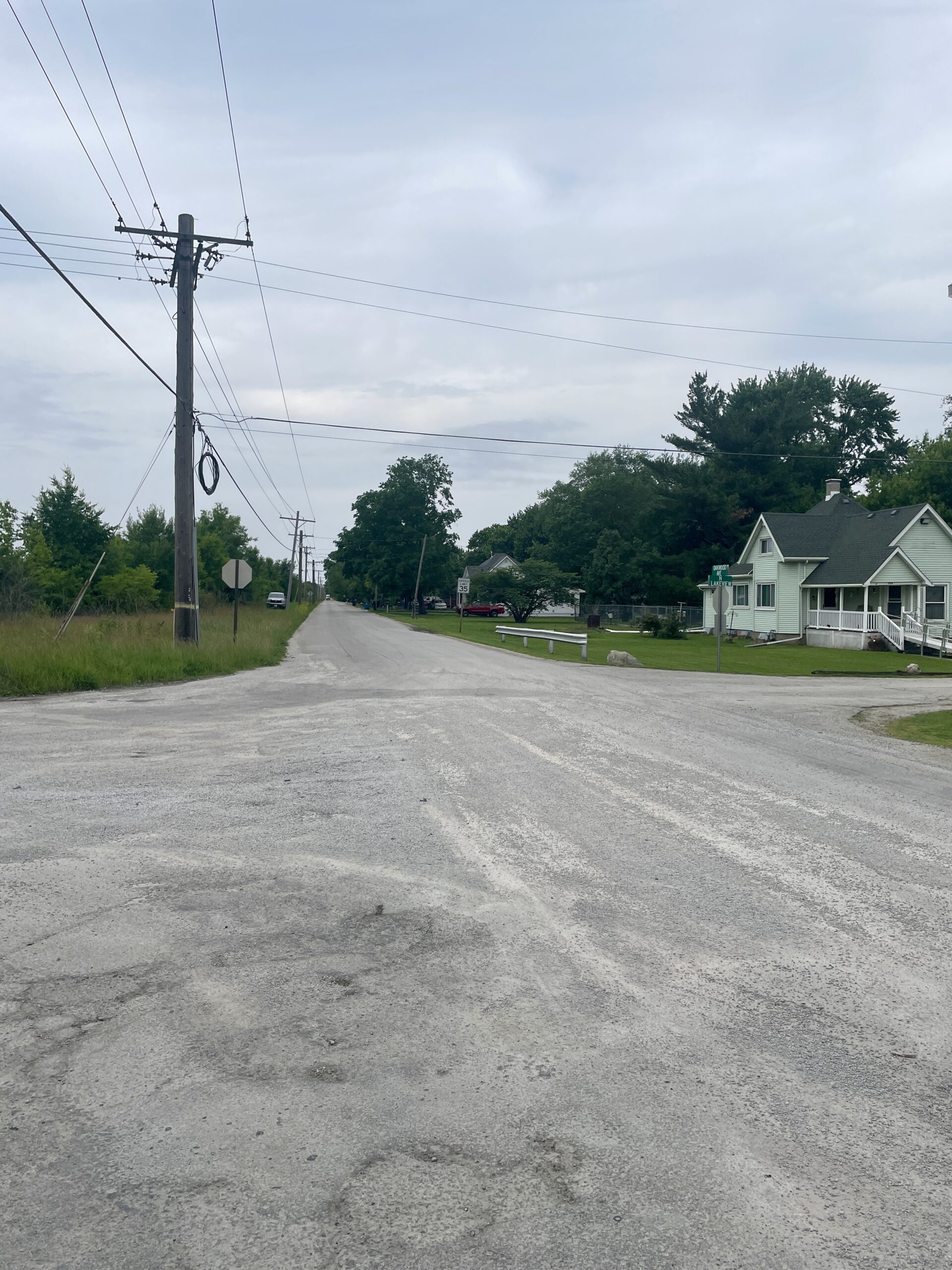
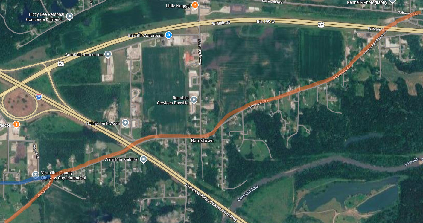
After angling away from Oakwood Ave., the route heads southwest through Batestown to Oak Hill Cemetery. A traveler on the trail would have passed Batestown Methodist Church, which was originally a log and frame building built in 1873. The brick veneering you see now was added in 1923. The church is on the south side of the road, right about where the word “Batestown” appears on the map.
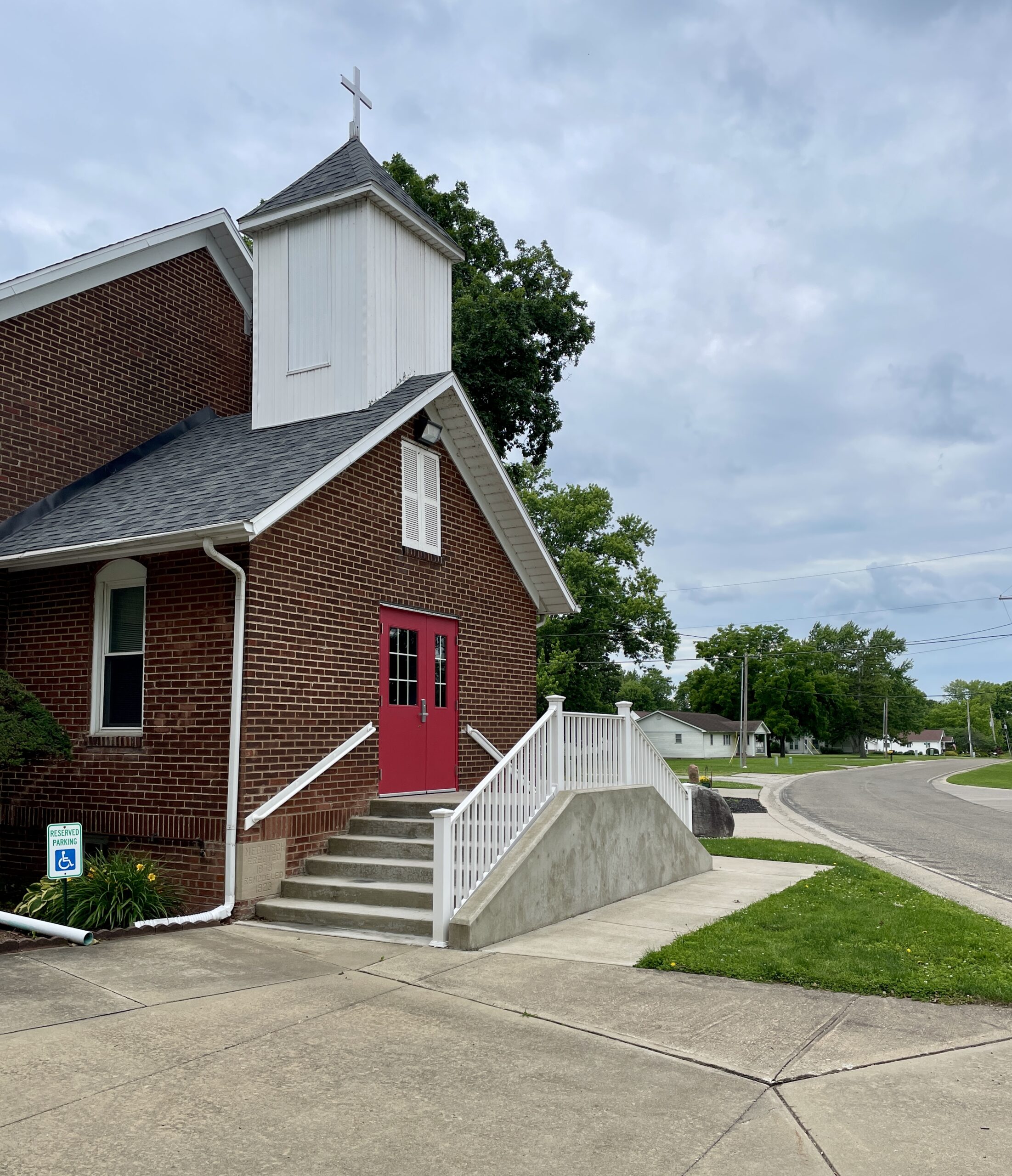
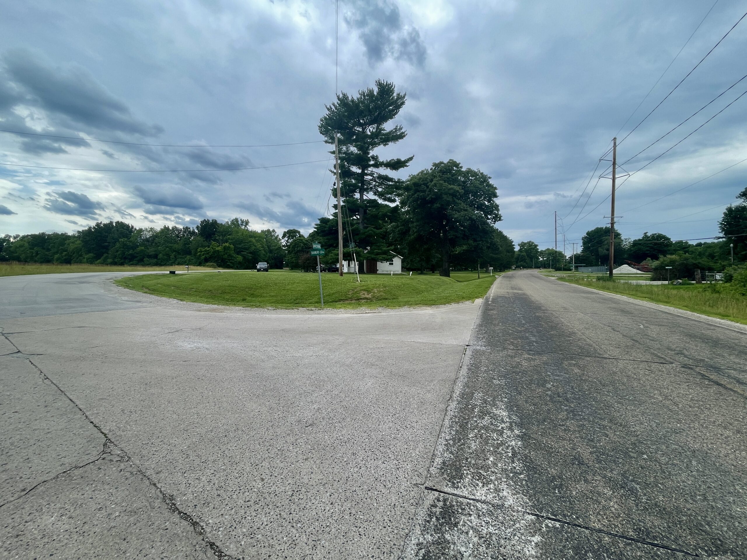
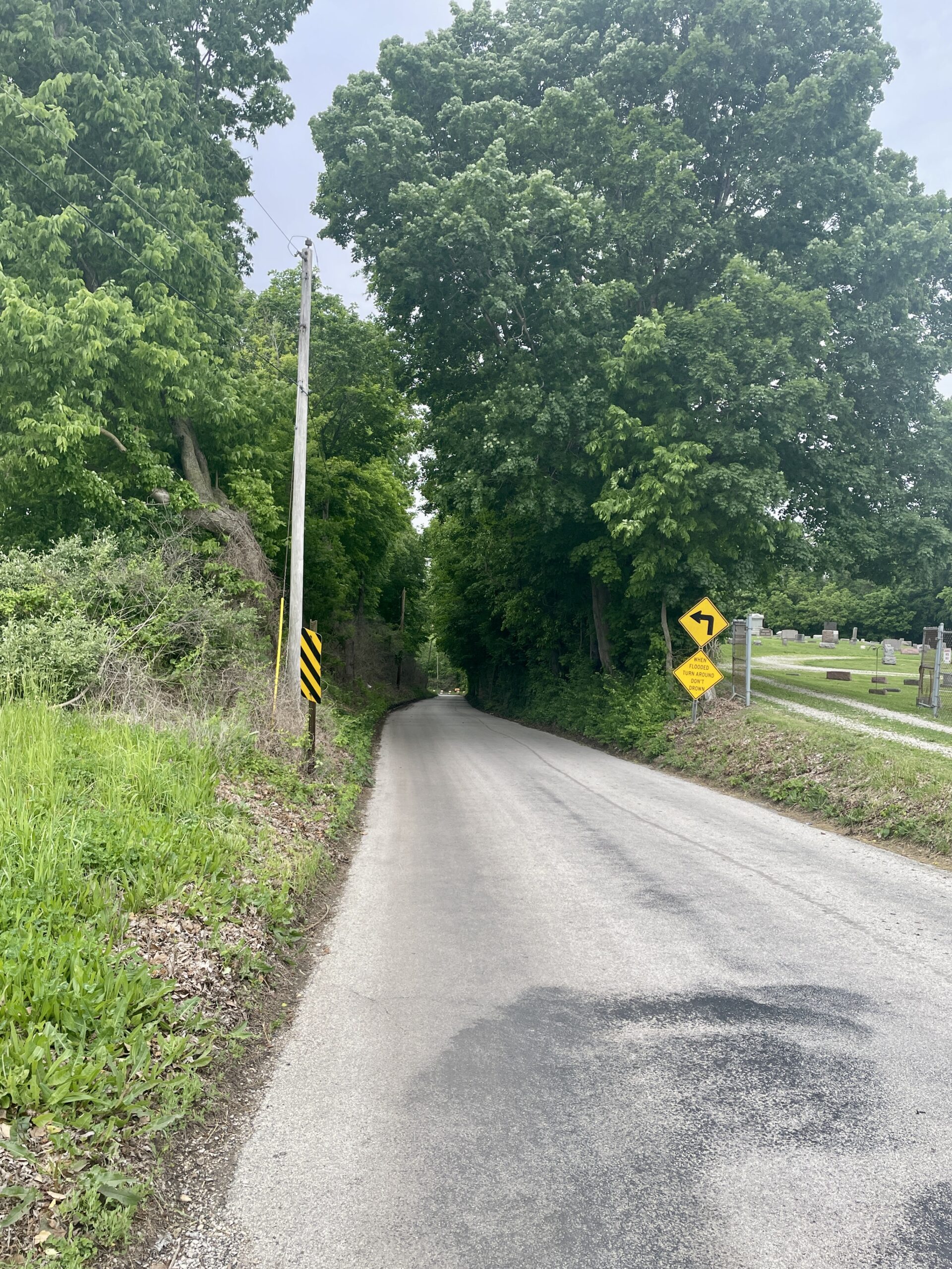
Where Batestown Rd and Shangri-La Rd. separate (below left, looking west), the original road continued southeast on what is now Shangri La road, going past Oak Hill Cemetery and descending the steep hill into the Vermilion bottoms (below right, with the cemetery on the right).
The present continuation of Batestown Road over Kistler Hill north of the cemetery (highlighted blue in the above map) was constructed in 1928 when that section of the old road became State Route 10. At this junction, we’ll go left on Shangri La and take a real step back in time at the bottom of the hill!
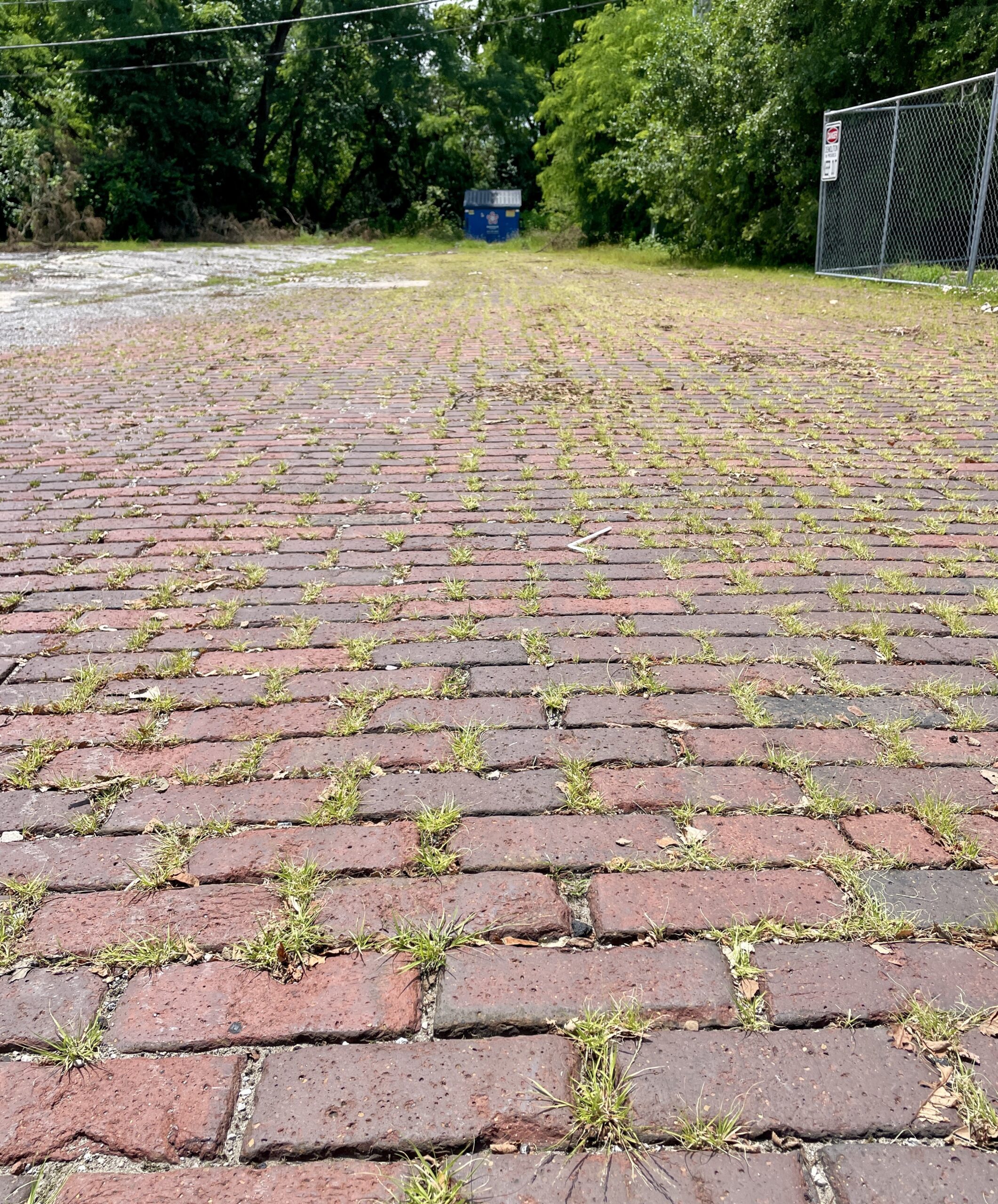
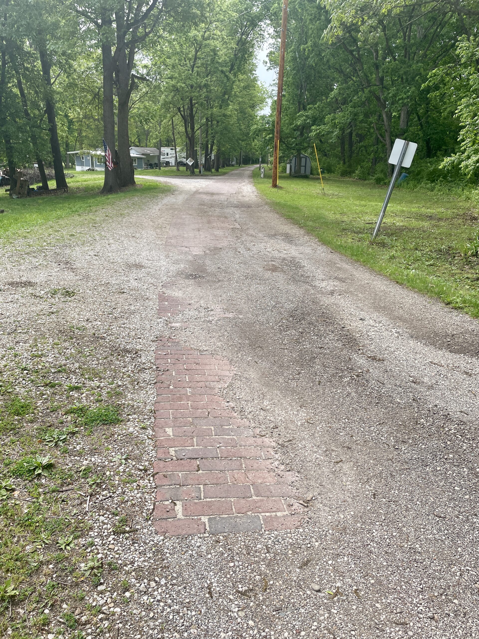
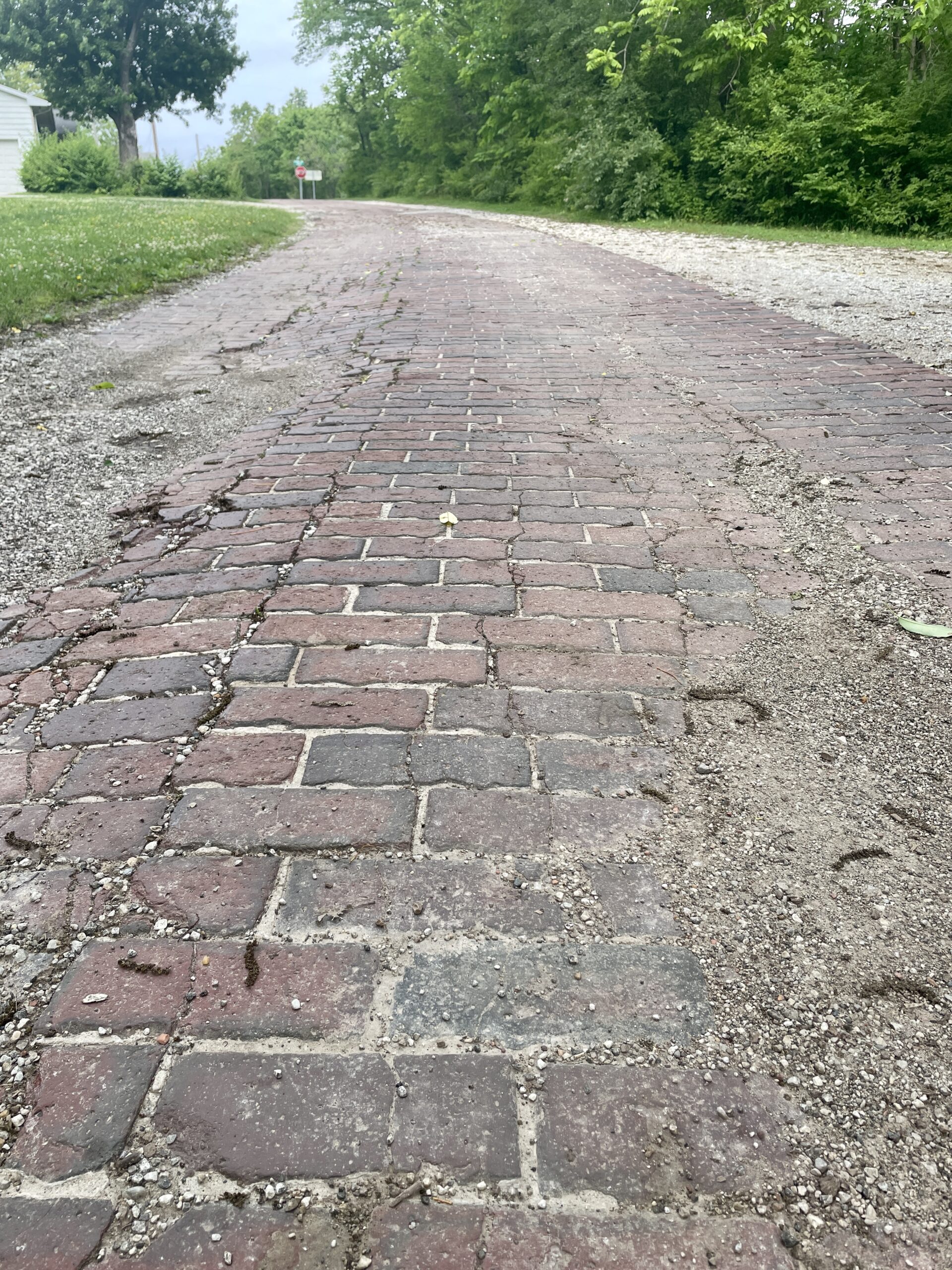
At the bottom of the hill past the cemetery, Shangri La Road makes a sharp left (south) turn now. But back in the days of the Waubonsie Trail, the road continued west across the Middle Fork River before coming back up from the west side of the bottoms. The original road across (highlighted yellow below) is lost, but on the west side, just off present U. S. 150 at the Fairview Sportsman Club, old brick pavement that was probably laid when the road became State Route 10, can still be seen descending into the bottoms. Google Maps shows this brick road as Vermilion River Lane.
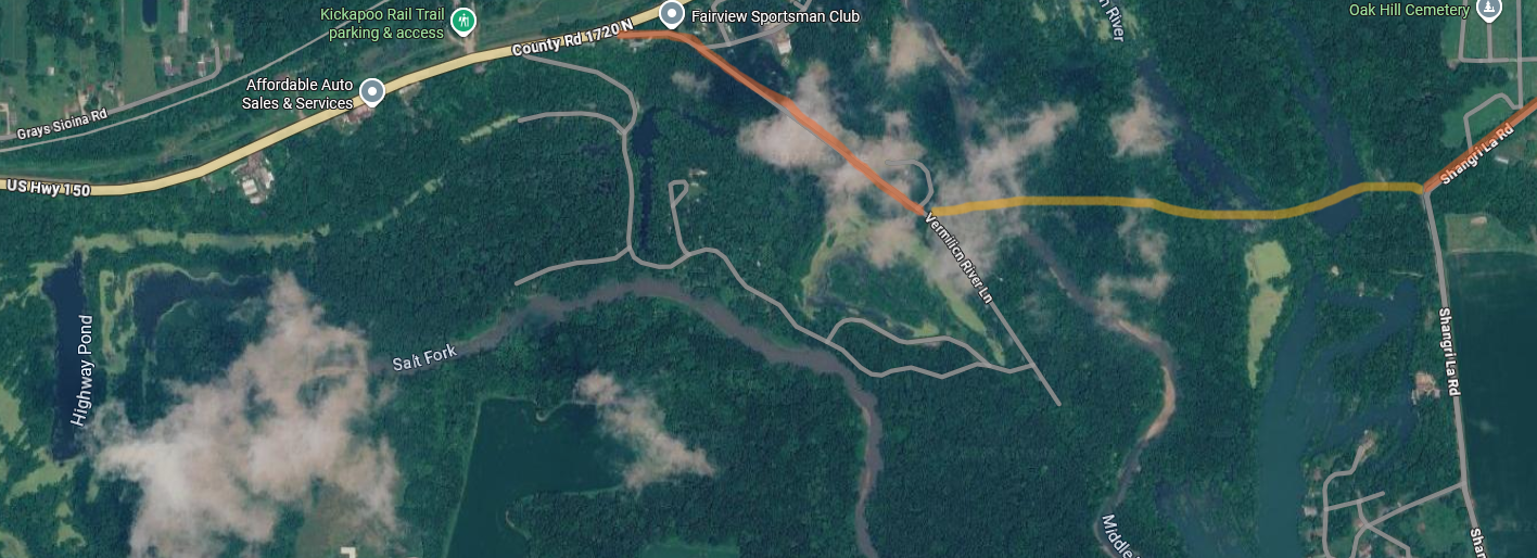
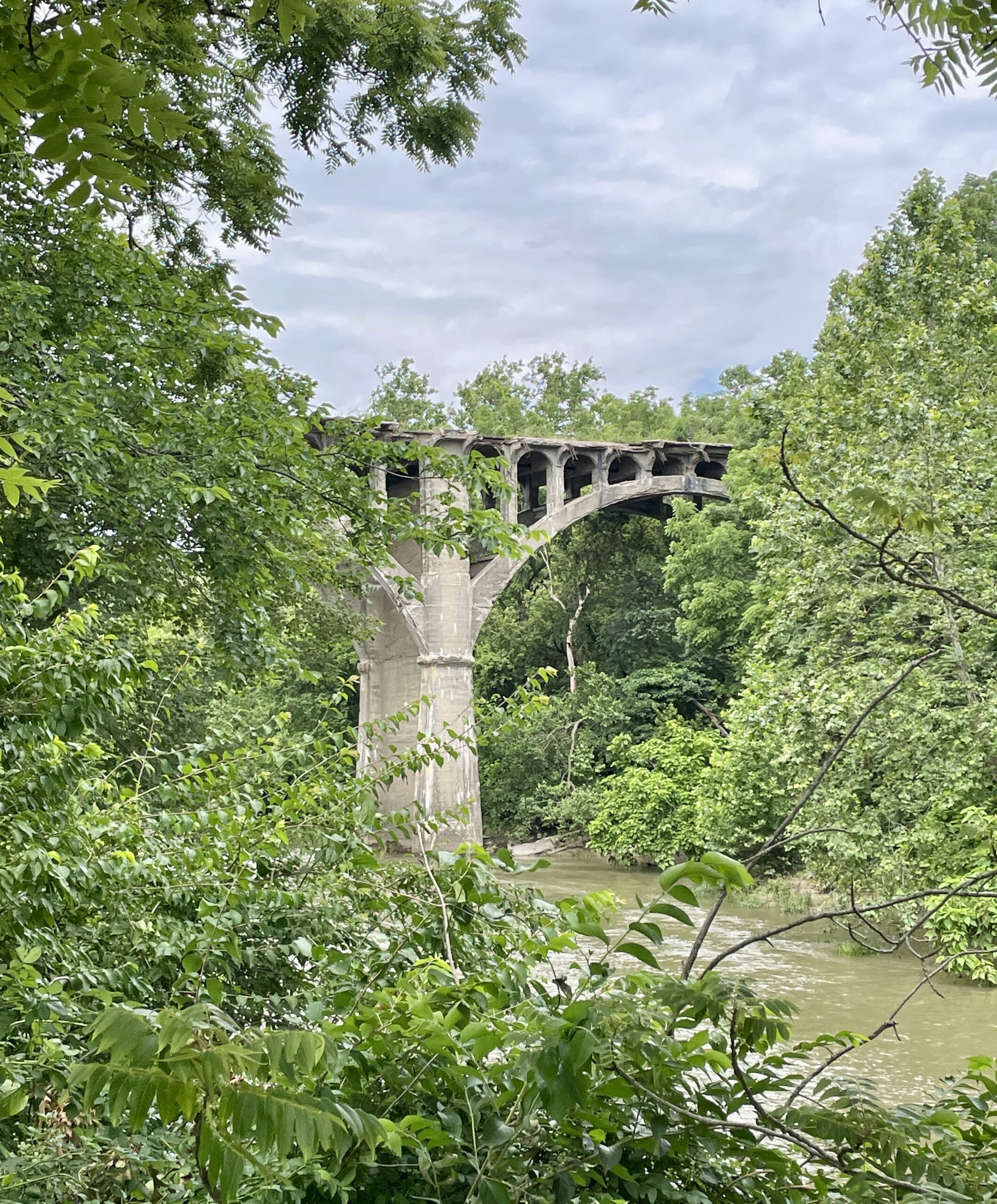
I post photos and information about my “old road adventures” on my Facebook page and at a group page called Old Highway Alignments. When I first posted about this section of the Waubonie Trail, I wrote, “Exactly how and where the road crossed the river remains a mystery to me.” I was pleasantly surprised to receive a detailed comment from group member Christopher Fisher, who identified the crossing as “Kistler Hill Bridge.” At the bottom of the hill where Sangri La Road turns south, he explained, “don’t take the turn…just look straight across, you can see the land scars of the 2 bridges.” He continued, “The old bridges went straight across . . . the easterly one is on that bit of fill…. and the western one is where you can see the east shore of the river undisturbed to this day.” Click the link above for details about the bridge and some great pictures taken in 2017.
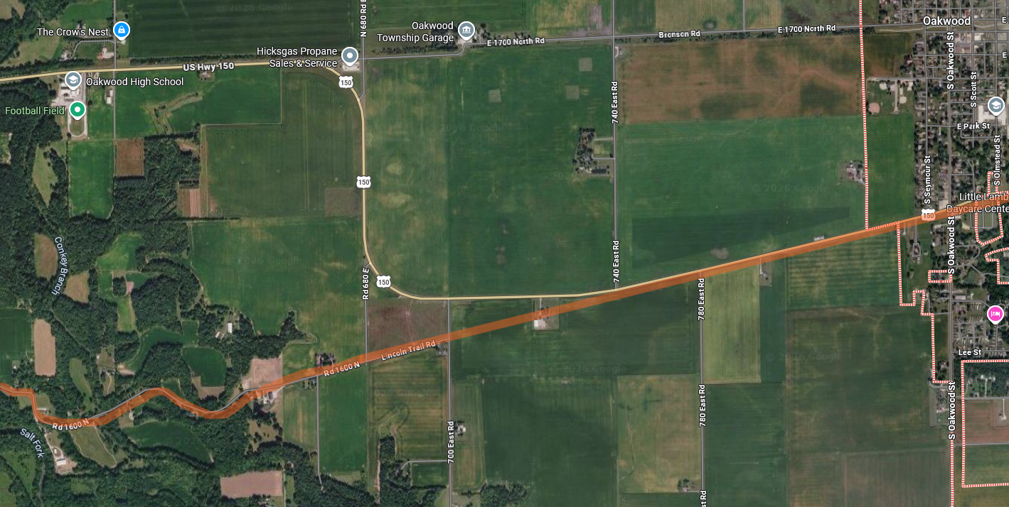
At Oakwood, the Waubonsie continued to angle southwest, following the present highway alignment away from town. When Illinois Route 10 was established in the mid-1920s, the highway bypassed Oakwood (just as U. S. 150 does today). Between present 780 East and 700 East roads, the old Waubonsie alignment (highlighted orange) would have continued straight until it headed into the Salt Fork bottoms on the Old State (now Lincoln Trail) Road. The old Diagonal Trail, and ultimately Illinois 10 and U. S. 150, curved back north and then west through St. Joseph to Urbana.
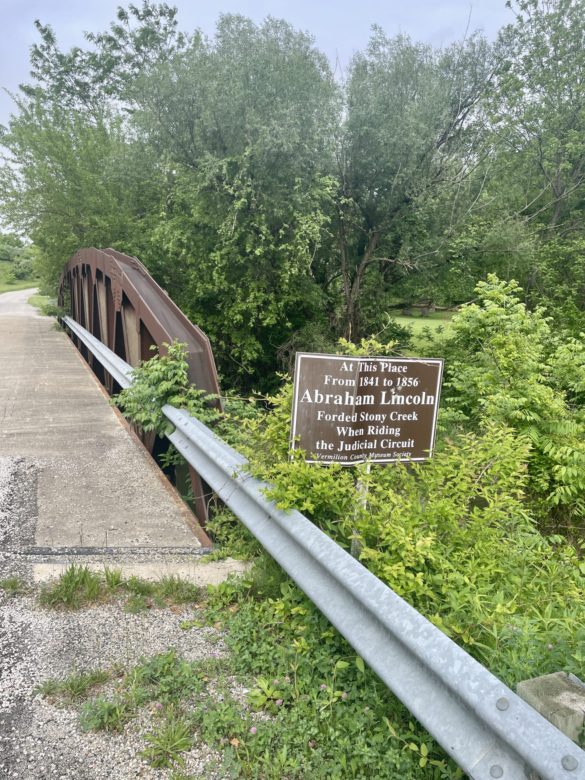
Shortly after heading west on present Lincoln Trail Road, the Waubonsie Trail descended into the Salt Fork bottoms and crossed Stony Creek. The original “Lincoln Trail Bridge” at this crossing, built in 1884, was replaced by the present structure in 2005. A marker on the bridge (photo below) commemorates the location as the place where Lincoln crossed the creek when traveling from Champaign to Vermilion counties on the judicial circuit.
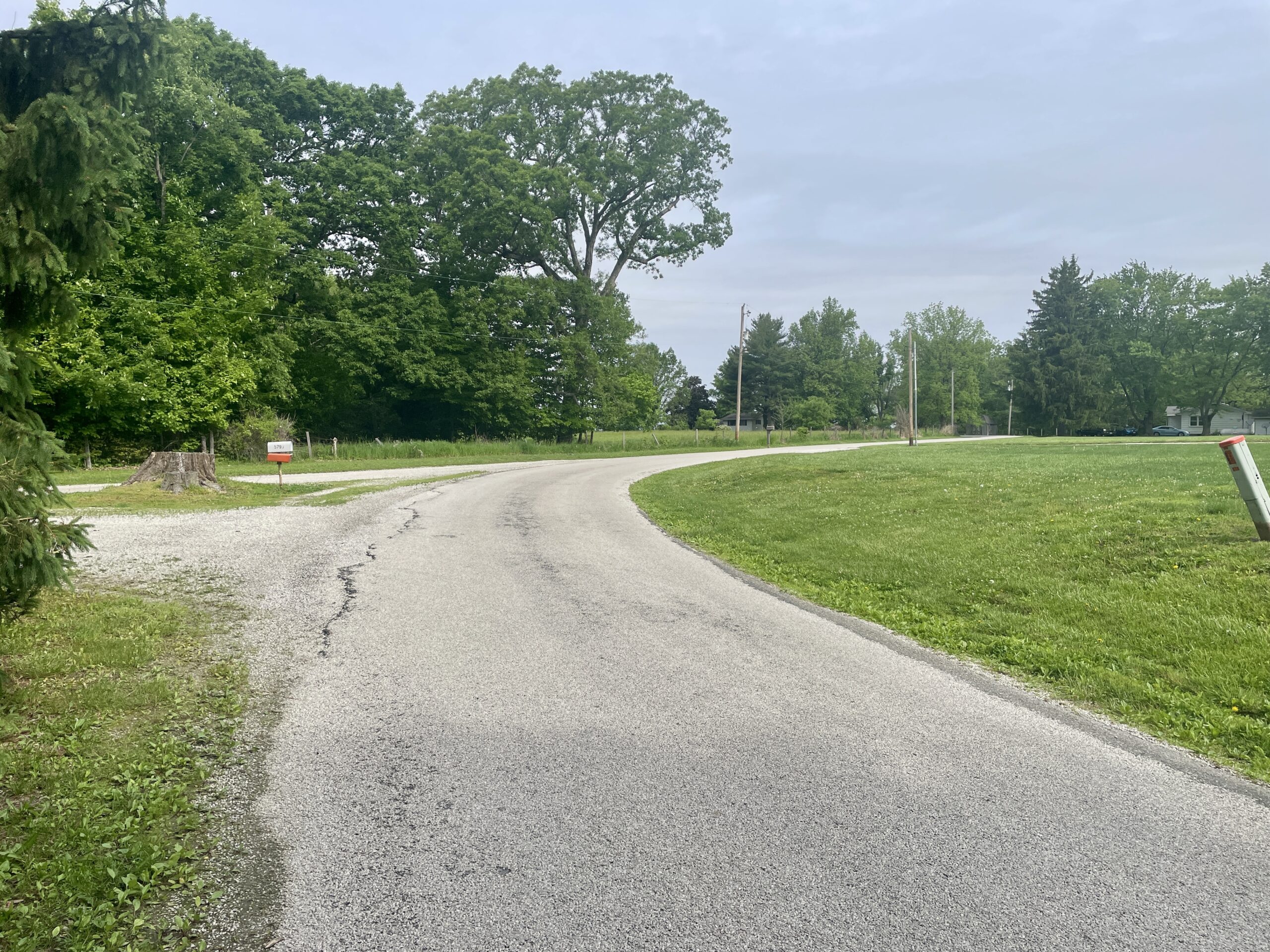
Two more Lincoln markers are located along this last bit of the Waubonsie Trail route through Vermilion County. On the north side of the road, near a farm located between County Roads 300E and 200E, an engraved marker (photo below left) reads, “Abraham Lincoln as he rode the circuit of the Eighth Judicial District 1847-1857.” Erected in 1921 in memory of John R. Thomson, “Friend of Lincoln.” At the Vermilion-Champaign county line (below right), one of about a dozen Eighth Judicial Circuit markers erected between 1921-23 by the DAR and the Lincoln Circuit Marking Association still stands. The markers were placed at the county line at each place Lincoln would cross from one county to the next while riding the circuit.
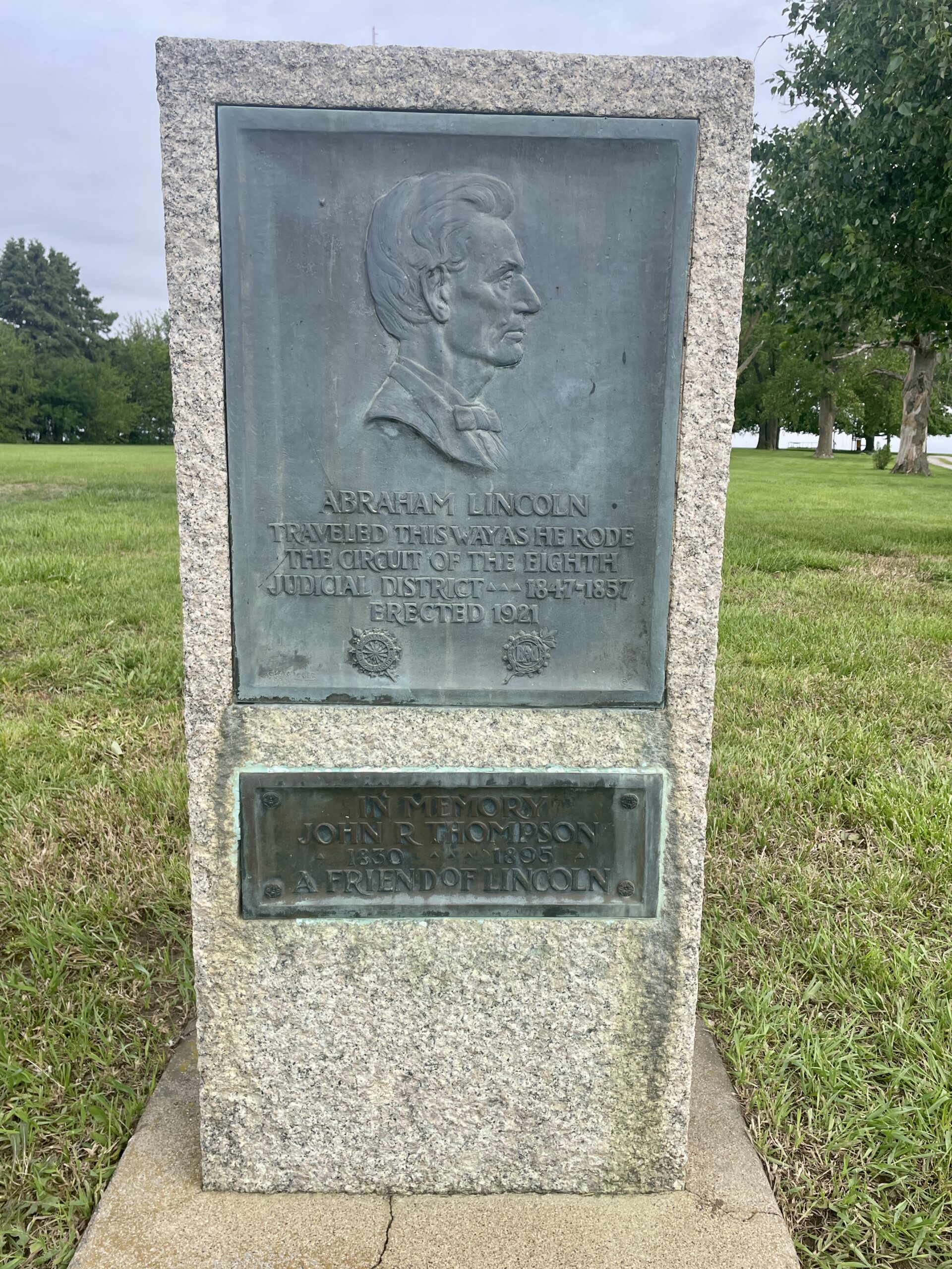
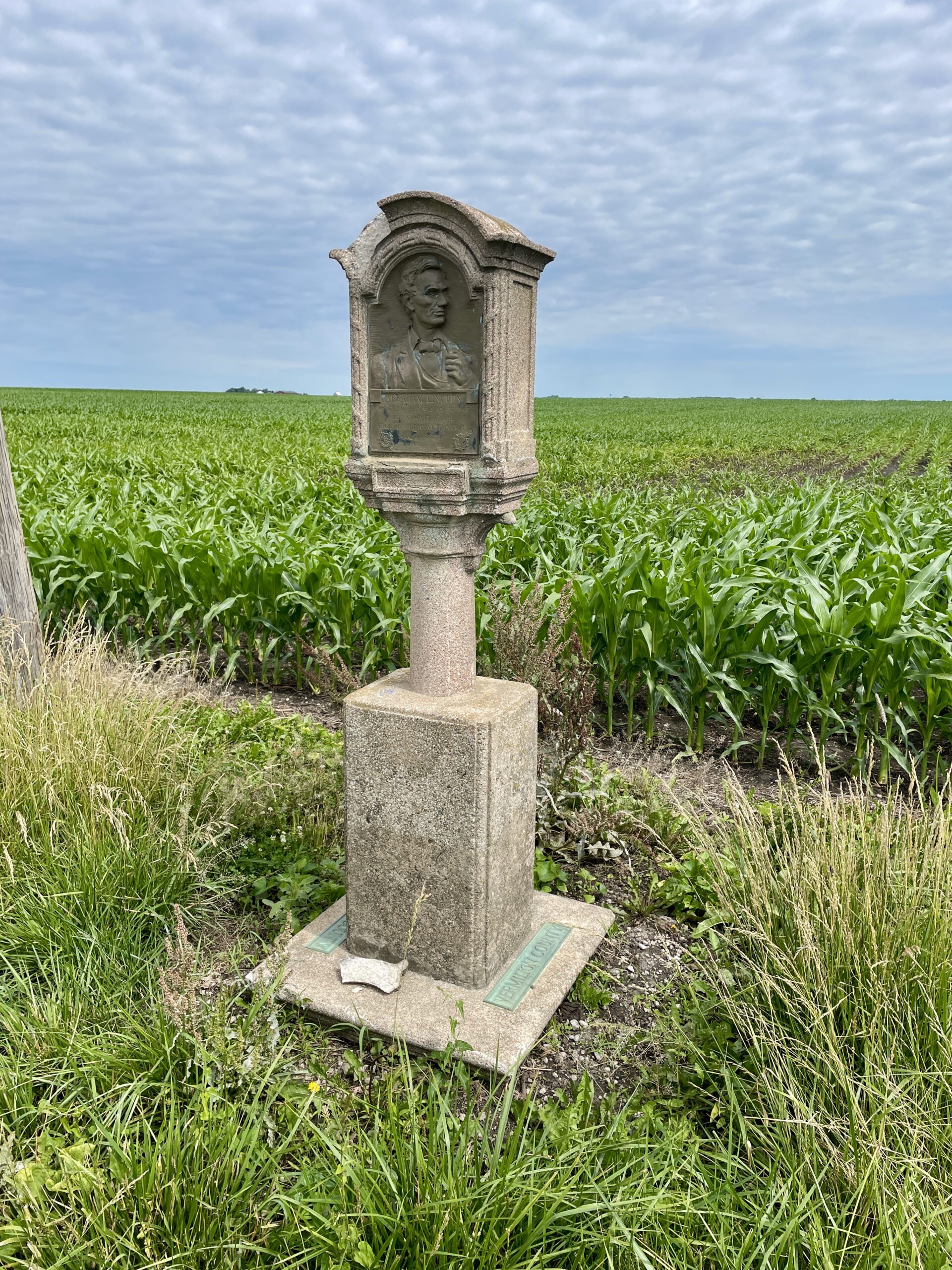
By the time these markers were placed, the old Waubonsie Trail was a fading memory. Travel between Danville and Urbana had shifted to the more direct Diagonal Trail, soon to become State Route 10, along the Big Four Railroad. In Part Three of this series, we will continue our journey along the Old State Road to Urbana and follow the the Waubonsie trail through Champaign County.