

In most communities some of the most well preserved historic structures are churches, and Champaign-Urbana is no exception. When the Bicentennial Project to designate official historic sites in Champaign County was completed, the published guide to the locations included eleven churches. In this episode of “Historic Sites Re-visited.”, we will visit the six located in Champaign and Urbana.
In Urbana, the Presbyterians were first to organize a congregation (1850); local Congregationalists followed suit in 1853. Both groups moved to the new town growing up along the Illinois Central Railroad, “West Urbana” (soon to become Champaign), where they built new buildings at about the same time.
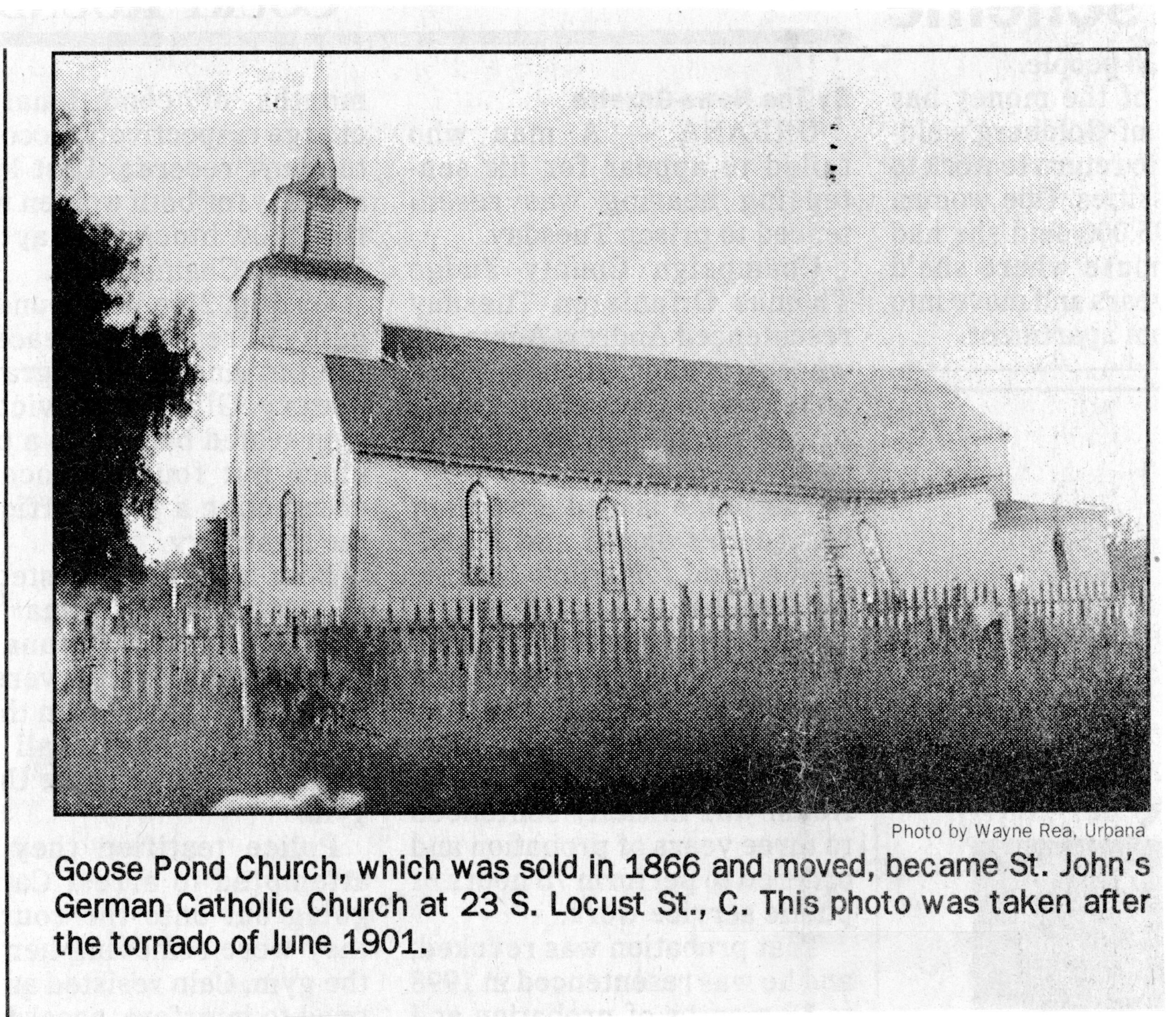
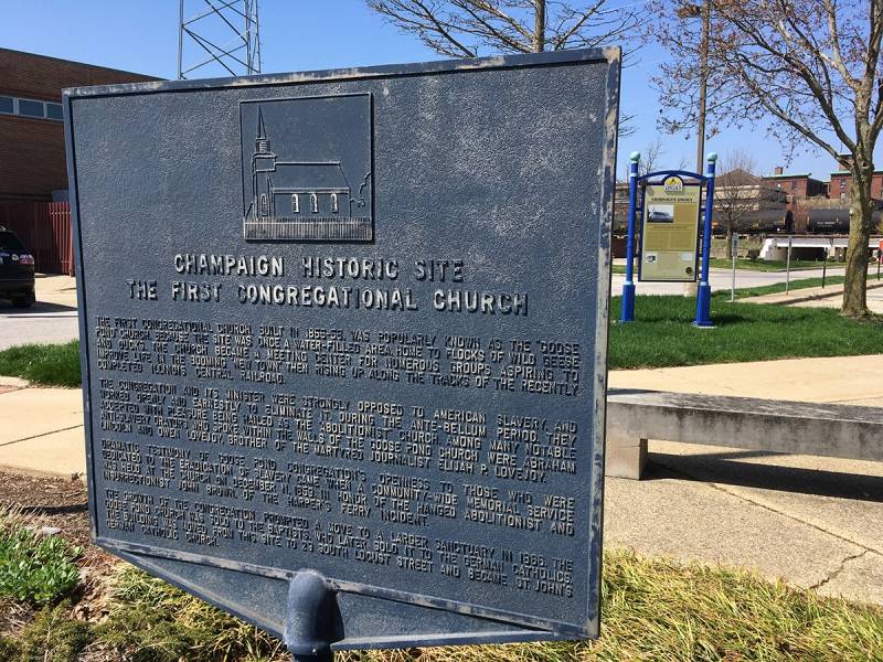
The Congregationalists’ First Street building, regarded in local lore as the “Goose Pond Church” (Historic Site #60), is dated by many sources to 1855 (it was built “in the spring” of that year, by their own account). The site of the long-gone First Congregational Church is commemorated by a marker (pictured above), located by the Champaign Police Department at the corner of First and University.
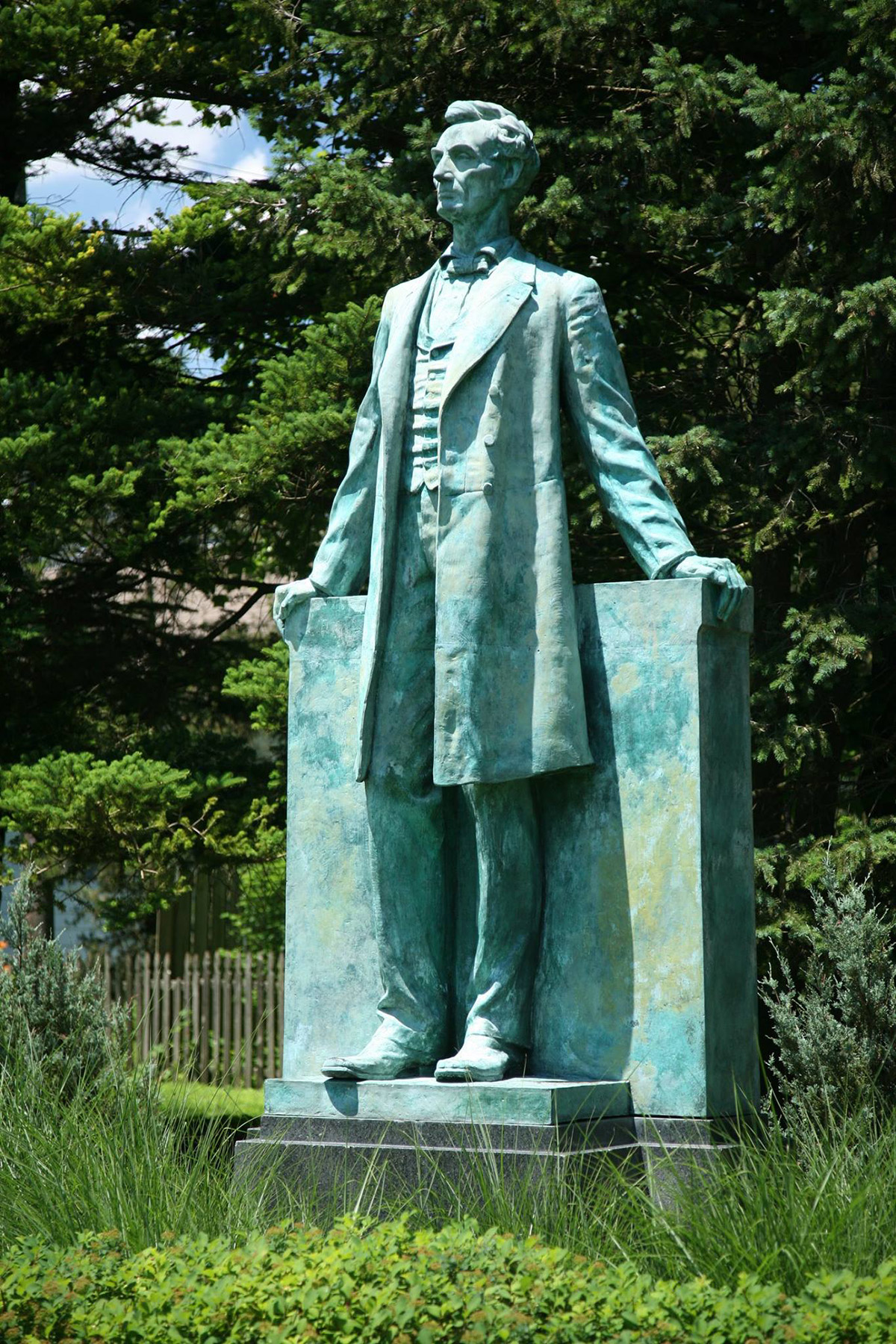
The Illinois Central Railroad donated the land where the church was built, although the deed was not recorded until August 30, 1856. The location was formerly a pond that had to be filled in for construction, leading to the popular nickname. The congregation was known for its abolitionist leanings, and the building was often used for public meetings on the topic. Abraham Lincoln spoke there on at least two occasions, as did abolitionist Owen Lovejoy.
After the Congregationalists moved to West Park Street in 1866, their original building passed to the St. John German Catholic Church. It was moved two blocks south to Locust Street in 1872. A “Looking for Lincoln” marker on the original site (background in top photo) features a picture of the old church (also at right), although this News-Gazette photo was actually the St. John Church.
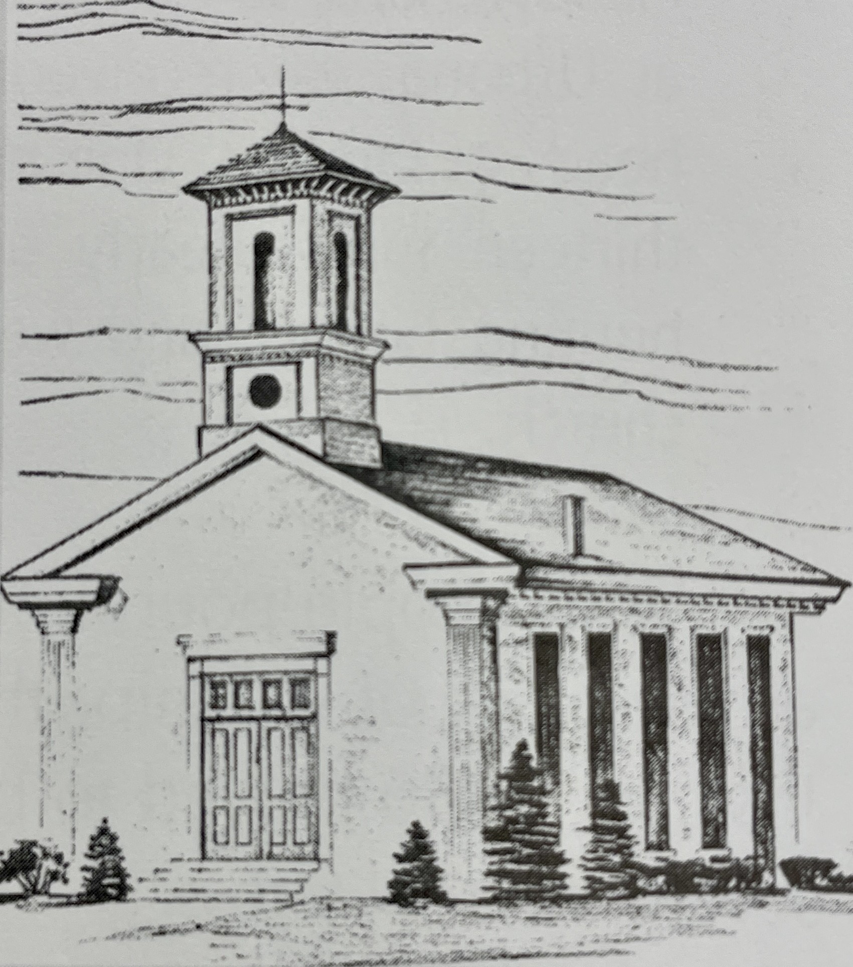
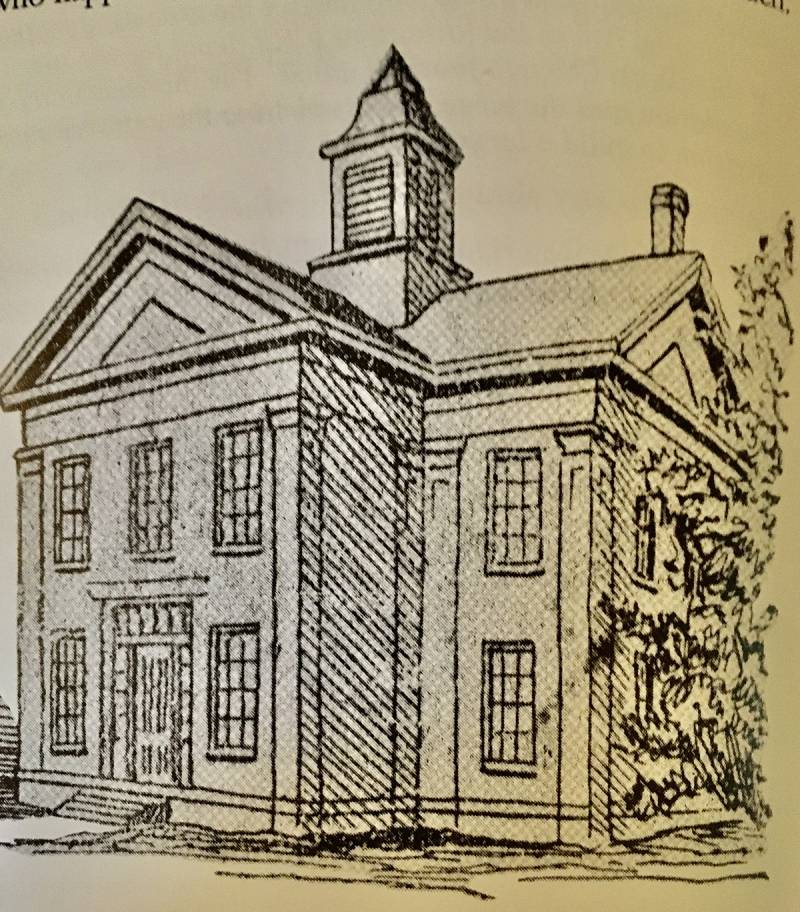
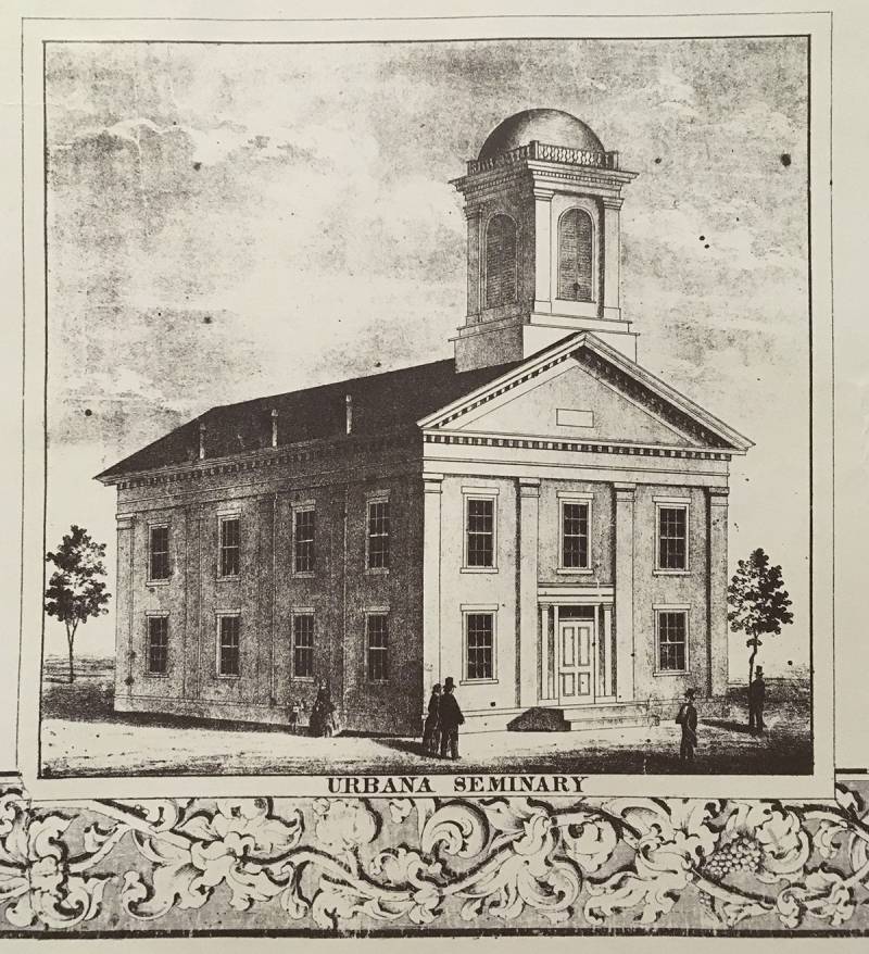
The Presbyterians purchased two lots at the southwest corner of Hill and State in late 1854, completing their first frame building on the site in 1855. Their original frame church (sketch, left) was moved two lots west to make way for the present building. It housed a women’s seminary for a time, then the German Methodists from 1872-75. The original section of First Presbyterian Church (Historic Site #66, below) was built in between 1867 and 1869. The Gothic brick structure was inspired by 19th century German architecture, Two front facing towers were added in 1883.
A fire at the rear of the building in 1909 led to renovations and the construction of a large two-story addition off the southwest. A basement was dug out under the original portion of the building during the Depression by WPA laborers.
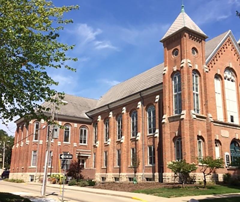
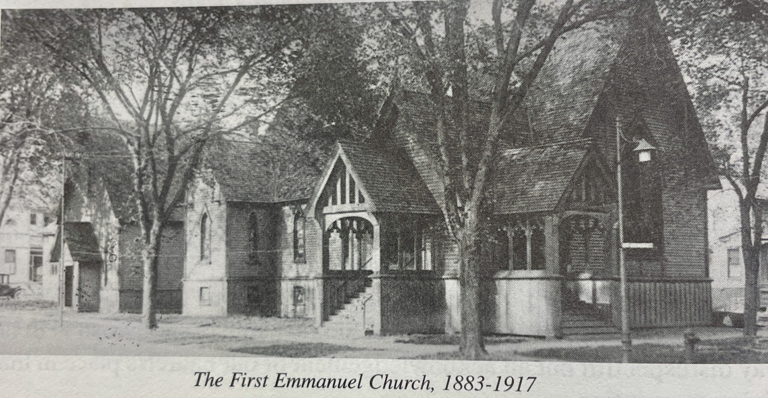
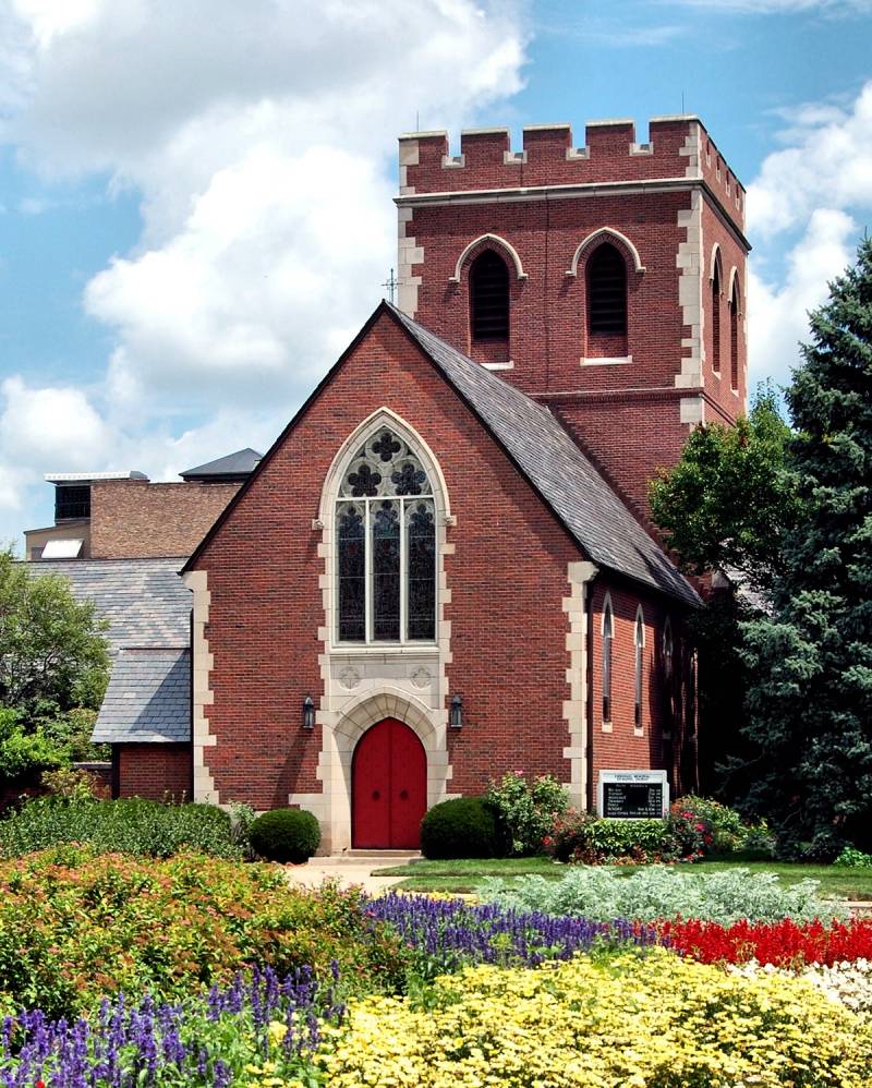
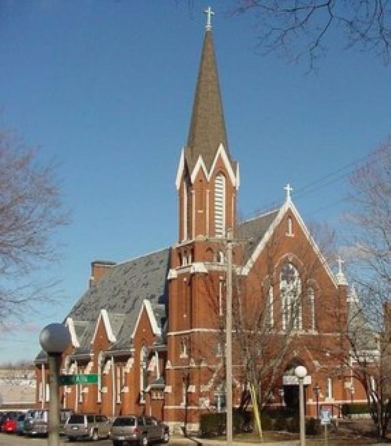
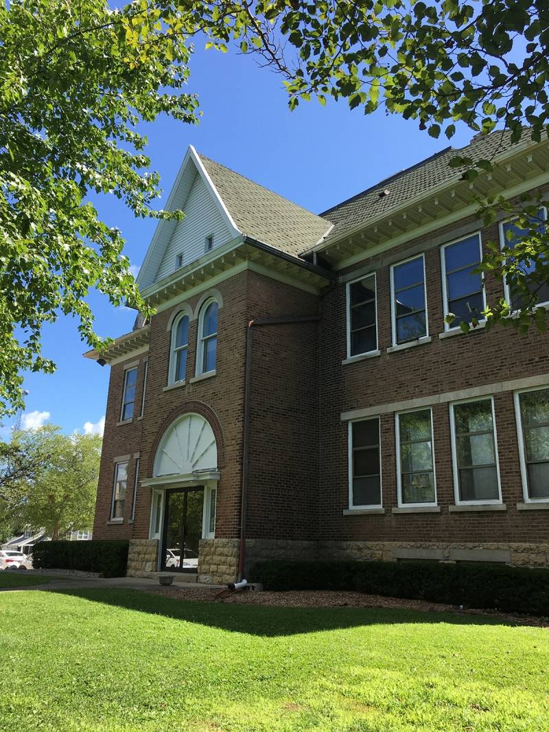
Two blocks south of First Presbyterian is Historic Site #67, Emmanuel Memorial Episcopal Church. Emmanuel traces its roots to services first held at West Urbana’s old “Brick School” in late 1858. For the next 25 years the congregation met in the school and rented halls until constructing its first building the present site. Dedicated February 4, 1883, the church was a wood structure of Gothic style. It was enlarged in 1898, but by 1916 plans were made for a new building to house the growing congregation.
Demolition of the old building took place in 1917, and the church met at the Burnham Athenaeum until the present Gothic building (right) was consecrated in the summer of 1918. The church, parish hall, and rectory were designed by Ralph Adams Cram, a noted architect known for Gothic Revival designs. The Mowry Annex to the east (named in honor of Rev. Harris J. Mowry, longest serving rector, 1957-72) was added in 1963, and major renovations undertaken in the early 1990s brought the church to its present situation.
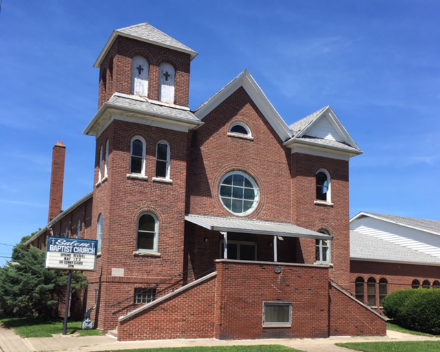
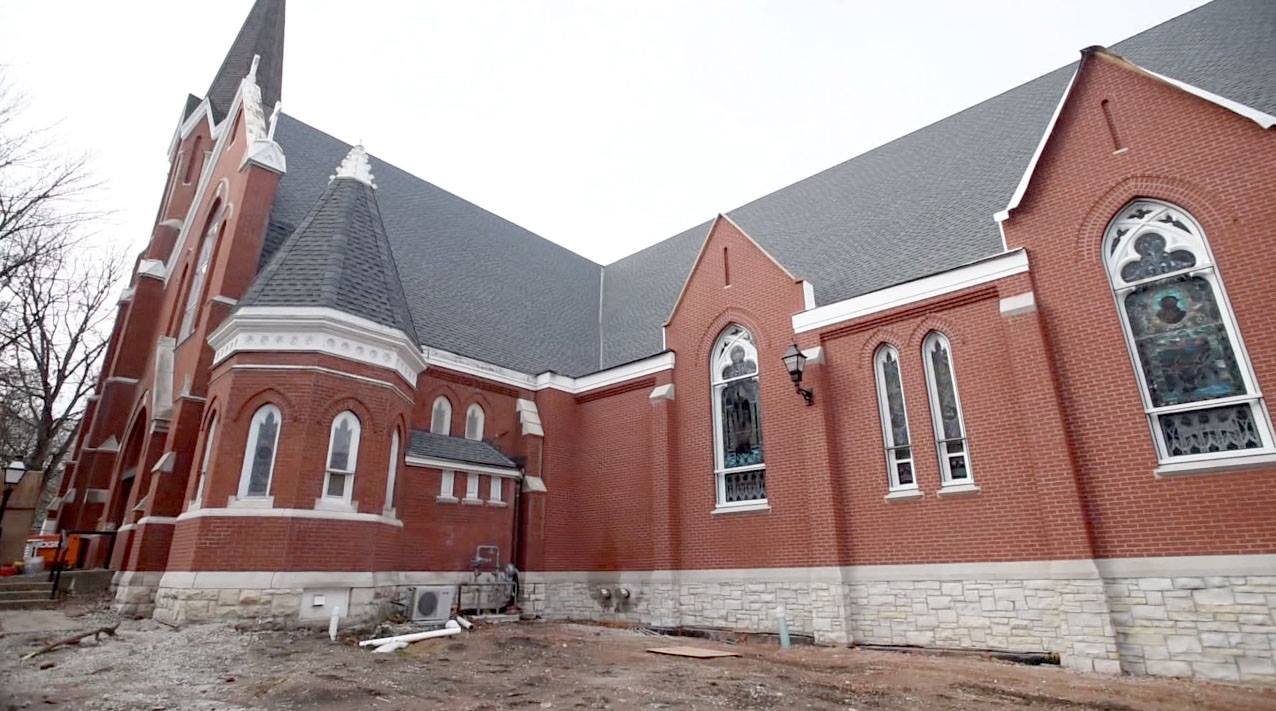
Heading back east across the tracks, our next stop is Historic Site #57, Salem Baptist Church at 500 E. Park Street. Salem is the second oldest African-American congregation in the city, established just three years after neighboring Bethel A.M.E. Organized in 1867 as “Second Baptist Church,” the group first built a frame building across the street from Bethel (N/S 400 block of Park). It burned down in 1874 in a suspected arson fire.
After meeting in rented space, the congregation relocated to the N/S of Clark St., two lots W of Sixth. In 1900, the church name was officially changed to “Salem,” and land was purchased at Fifth and Park as the site for a new building. The brick Romanesque Revival church at the corner (right) was completed in 1908. A north addition followed in 1920, and the present sanctuary to the east was dedicated in 1993.
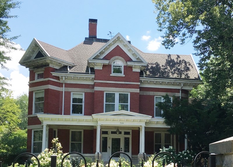
Roman Catholicism arrived in Champaign with the hundreds of Irish and German workers who labored on the Illinois Central Railroad. A Catholic Mission was established to minister to their needs, and then St. Mary Parish was organized to succeed the mission. The first St. Mary Church was built at 612 E. Park in 1871. The current building at the same location, while not designated an official historic site in the 1976 program, was dedicated October 28, 1888.
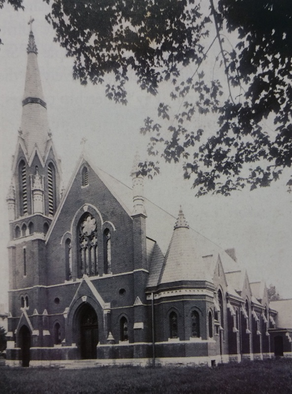
(1903 original N-S orientation)
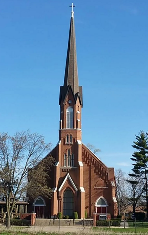
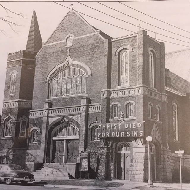
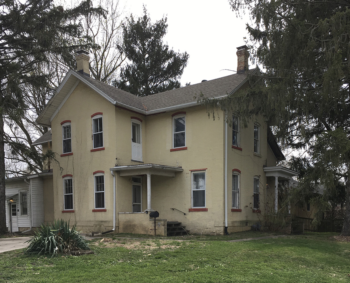
St. Patrick in Urbana (708 W. Main), however, did make the list as Historic Site #40. St. Patrick’s Parish has its roots in St. Mary’s Church, where it was organized in 1901. A simple wood frame building was put up in 37 hours to serve the fledgling parish. According to a parish history, the frame church sat to the north of the present church building. Designed by renowned church architect George P. Stauduhar, the present building was dedicated May 24, 1903. A major renovation and expansion in 2014 (News-Gazette photo below by Rick Danzle) turned the formerly north-south situated sanctuary to an east-west orientation, doubling the seating capacity.
Our final stop on this tour is The Wesley Foundation and Church (1203 W. Green Street, Urbana), Historic Site #51. The Wesley Foundation at the University of Illinois is the first such center on the campus of a state university in America. Its story begins in the establishment of “2nd Methodist Church of Urbana” in 1892, renamed Parks Chapel after a few years in honor of local real estate developer Milton S. Parks, who donated land for the building at 1302 W. Springfield Ave. According to a Methodist history, “Parks Chapel was a small, two-room wooden structure located next to the University of Illinois . . . which held approximately 250 people.” In 1905-6 a new brick building was constructed on the site and dedicated as Trinity Methodist Episcopal Church.
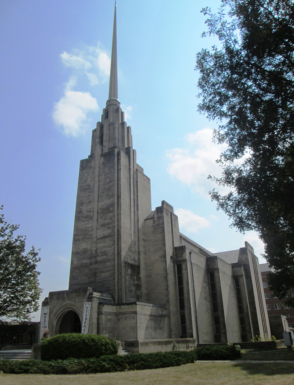
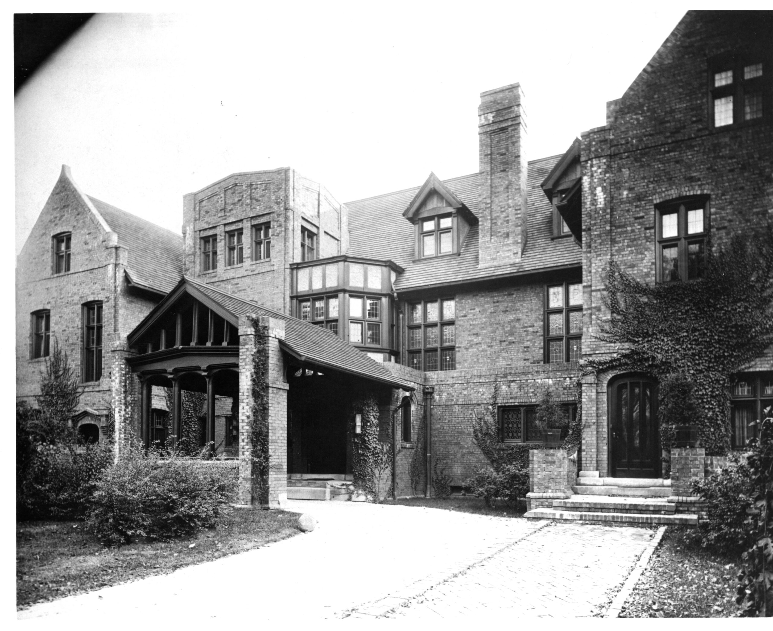
The Methodist Conference of Illinois established the foundation as a campus ministry of the church in 1913, constructing the Foundation building at its present location in 1921 (pictured below). The design by architects Holabird and Roche of Chicago was inspired by Gothic and Renaissance elements of St. John’s College in Oxford — other sources cite Christ Church College as the inspiration. Similar materials of limestone, open timbers, and slate were used in construction. Trinity remained the campus church for the Methodists until services moved to the Foundation Auditorium in the mid-1930s.

In 1959, when a new church was constructed west of the Foundation building, the congregation was renamed “Wesley” to reflect its ties with the Foundation. Wesley United Methodist Church (pictured at right), designed by architect Harold Wagoner of Philadelphia, strikes a contrasting modernist pose as it towers over the older, more traditional Foundation.
In our next episode of “Historic Sites Re-visited,” we will return to downtown Champaign to find some of the city’s most iconic structures: the Cattle Bank, the Virginia Theater, the Burnham Athanaeum, and a few more historic gems.
Originally featured in the Smile Politely online magazine (June 8, 2020).


