
The Waubonsie Trail, one of dozens of early named auto trails in Illinois, was marked from Denver, Colorado to Indianapolis, Indiana between 1911-1912. That makes it older than the more well-known Dixie Highway, Pikes Peak Ocean to Ocean Trail, and Egyptian Trail that passed through East Central Illinois. It even predates, by one year, the legendary Lincoln Highway, which was marked across northern Illinois beginning in 1913.
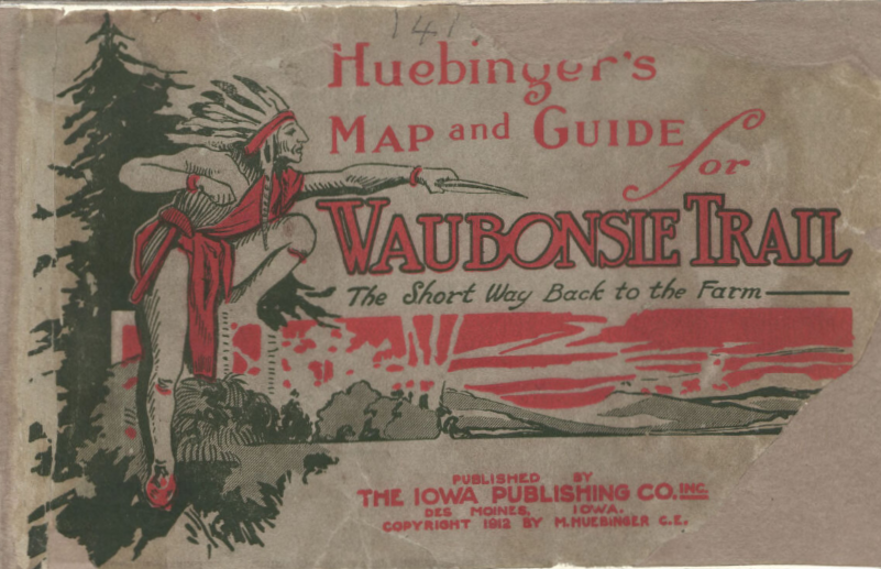
The Waubonsie Trail Association was organized in southwestern Iowa in early 1911. The Foreword in “Huebinger’s map and guide for Waubonsie Trail: Iowa and Nebraska division of the Waubonsie system, 1912” (cover pictured above) relates, “Waubonsie Trail, the historical and sentimental name by which the best worked and most thoroughly marked road crossing the state of Iowa is known, is the outcome of a meeting . . . held in Shenendoah, Iowa, in February of 1911.” The Association famously promoted the trail trail as “The Short Way Back to the Farm.” As it turned out, the “Short Way” had a relatively short life and is largely forgotten today.
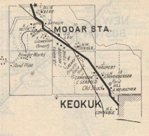
The trail first ran “river to river” across the southern counties of Iowa from Nebraska City to Keokuk, where it crossed the Mississippi River into Illinois. The name chosen for the trail “was in honor of an old war chief of the Pottawatamie Indians, who was born in Illinois . . . and who after successive removals finally located in southwestern Iowa, where the old chieftain died and was buried . . . .” (Heubinger’s Foreword).
News of the plan for the trail to pass through our area was quick to make its way to Champaign-Urbana. A story in the Champaign Daily News (Feb. 7, 1911) appeared under the headline, “WAUBONSIE TRAIL THIS WAY” with the sub-head, “Champaign and Urbana to Be on Line of Road.”
“Such was the announcement of W. I. Staples,” the paper reported, “who was engaged to promote route of the road from Keokuk, la. east to Indianapolis, Ind.” From Keokuk, Staples added, “the road will lead to Beardstown. Springfield, Decatur, Monticello, Champaign, Urbana, [and] Danville” on its way east through “Covington, Crawfordsville and then to Indianapolis, Ind.”
In the summer of 1912, Mr. Staples, now identified as “locating manager” for the trail, made his way to our area. “The project is in no sense a hard roads project,” he explained to members of Urbana’s Commerical Club during their meeting on Saturday, June 15, “the Idea of the promoters of the association being merely to interest rural dwellers in keeping the roads in good condition by frequent dragging and having the industrial and commercial clubs of the cities along the route place signboards at cross roads and other confusing points” (Urbana Courier-Herald, June 18).
The paper also reported that the Urbana Commercial Club was cooperating with the Champaign Chamber of Commerce and the Danville Business Men’s organization to determine the route the trail would take from the west edge of Champaign County to the Indiana state line. Three routes were proposed (but not detailed in the article), and “the Danville committee express[ed] their preference as an aid to a definite choice.” Said “preference” was also not revealed.
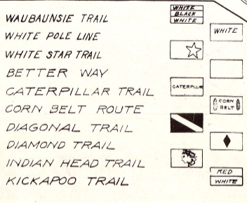
On August 9, the Danville Commerical-News reported that Staples had written to H. H. Roseman, Secretary of the Danville Industrial Club, “giving him explicit instructions on how the Waubonsie Trail was to be marked through this county.” The trail was to be blazed with “Black rings six inches wide . . . painted on all poles along the trail about eight feet above the ground.” The space between the two black rings was to be painted white.
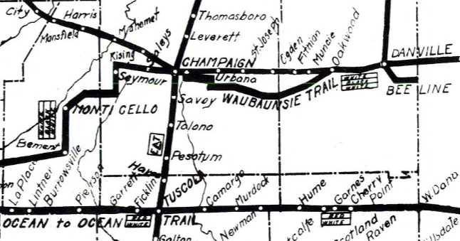
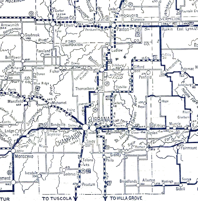
This same Commercial-News story also included a detailed account of the route from the west into Champaign (as did an August 21 story in the Urbana paper). We’ll look more closely at the trail routes in subsequent parts of this series when we take a virtual trip from Monticello to Danville. For now, let’s consider two key elements in these accounts that differ from the 1917 map shown above (the earliest map I’ve found). One difference, the route from Monticello to Seymour, is relatively minor; in fact, the newspaper accounts even differ themselves on this detail. We will come back to it in a later segment.
The other, however, is more significant. Official State maps from 1917-1922 show the route from Urbana to Danville as it appears above, following the “Old State Road.” But the 1912 newspaper accounts of the route show it turning south toward Homer near present Homer Lake. From Homer it then went east on the Homer-Catlin Road, going through Fairmount along the way and then heading back north through Tilton to Danville. Why did the route change? We’ll look into that more closely in Part Two of this series.
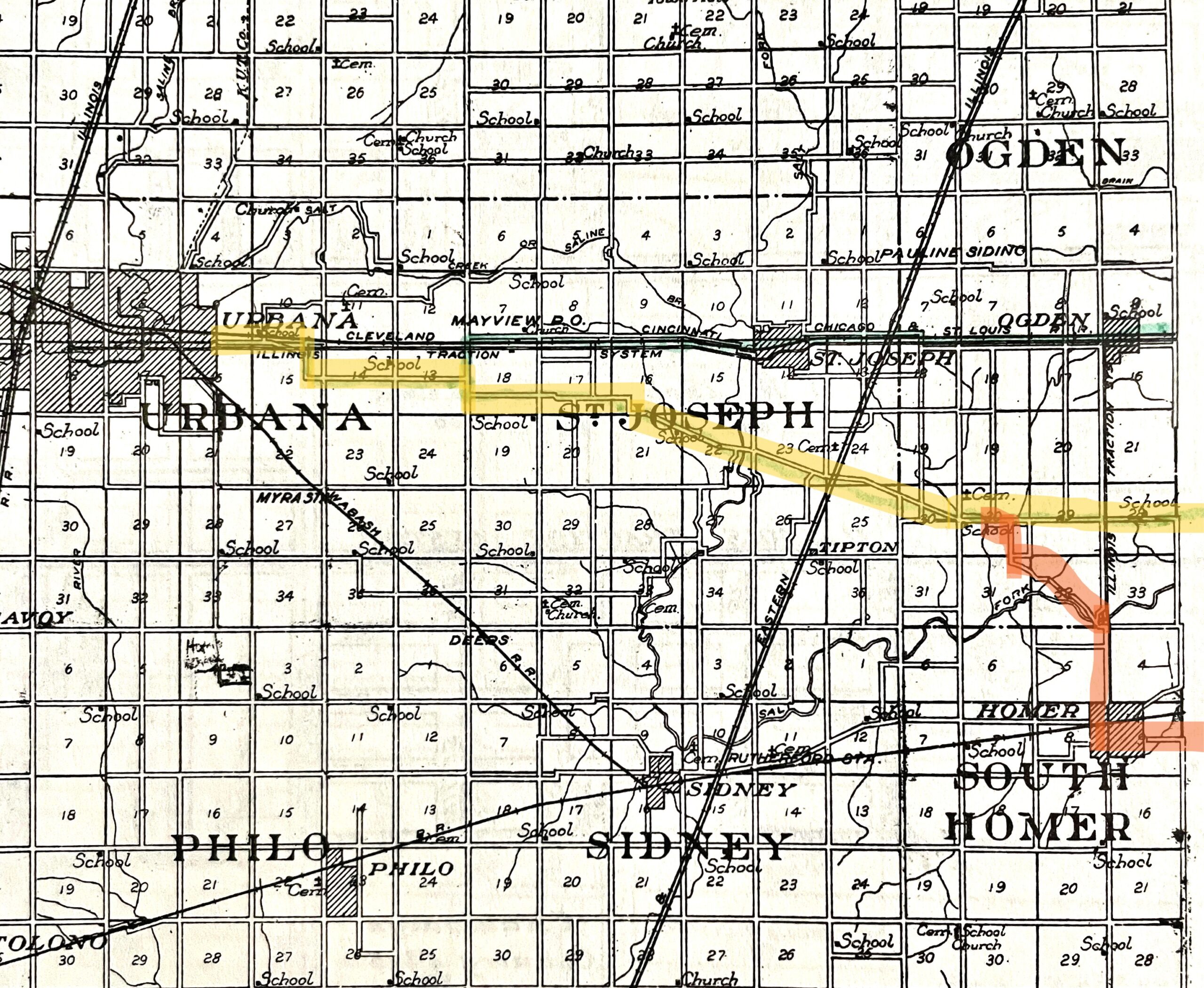
A later story in the Commercial-News (Oct. 12) confirms the early Homer route. “Two men from the Illinois motor company in Springfield passed through here yesterday marking the Waubonsie trail which will pass directly through the main street of this city,” a Homer correspondent reported. “The trail runs out of here north on the main road, crosses the Salt Fork at the old wooden bridge, turns to the left along the creek and from there to the state road which it joins at the Cocayne corner.” A month later, the Champaign Daily News (Nov. 9) reported that the trail had been completely marked through the county.
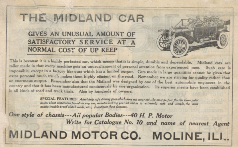
The following Spring, the Danville Press-Democrat (April 11, 1913) carried a story with the headline, “WAUBONSIE TRAIL IS FINE ROAD”
What followed was an interview with “a prominent Decatur resident” who had recently driven from that town to Champaign.
“Great is the Waubonsie Trail!” the motorist exclaimed. “The distance is almost exactly 40 miles . . . and we made it in three hours each way.” He continued, “There was no hard driving over good stretches of road to make up for time lost on bad stretches. We drove for mile after mile with the speed indicator marking twenty-one, twenty-two, or twenty-three miles an hour.”
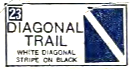
By 1917, the “Greatness” of the Waubonsie Trail was diminished somewhat by two new east-west auto trails that were marked through central Illinois. From Urbana to Danville, the Diagonal Trail ran a more direct route between the cities, north of the Waubonsie route on the Old State Road. The Diagonal paralleled the Big Four railroad tracks through St. Joseph, Ogden, Fithian, Muncie, and Oakwood. It left Champaign, now true to its name, on the Bloomington Road toward Bloomington and Peoria.
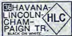
The Havana-Lincoln-Champaign Trail (HLC) followed the Waubonsie alignment west out of Champaign on Springfield Road. Reporting on this new trail, the Daily News (May 3, 1917) announced that it “is to run from Champaign to Clinton, to Lincoln, to New Holland, to Mason City, and to Havana” while passing through “one of the richest and finest parts of Illinois.”
The Waubonsie still made its way west through Monticello, Decatur, Springfield, and beyond, but between Decatur and the State Capitol it was overshadowed by the more popular Pike’s Peak Ocean-to-Ocean Highway, which followed a slightly more direct route to the south.
On March 10, 1917, the Danville Morning Press reported on a “New Auto Trail from Danville” that would “absorb the old Waubonsie trail” and extend all the way across the state to Quincy, about 50 miles south of where the Waubonsie crossed the Mississippi River at Keokuk, Iowa. The organizing body is not named, but the article closes with a hint at what would bring the brief era of marked auto trails to an end: “One of the chief purposes of the new organization will be [to support] the Illinois Improvement Association, calling for a $60,000,000 bond issue for a hard road system . . .”
That $60 million bond issue was approved by Illinois voters the following year (read that story in my series on the Egyptian Trail). In the early 1920s, the State began an ambitious project to develop a paved and numbered highway system throughout Illinois. The 1924 Illinois Highway Map (left) is the first to showed the new numbered highways (in circles), and it is the last one to show the marked auto trails (white numbers in dark boxes that corresponded to a key). The Old State Road between Urbana and Danville is no longer marked as the Waubonsie Trail, and the HLC alone is now shown going west out of Champaign.
The State Highway System brought auto travel into a new era with its more direct, numbered routes and – most importantly – paved roads! With a few exceptions, the Lincoln Highway, Dixie Highway, and Egyptian Trail among them, travelers quickly traded old auto trail names for the new numbering system (though even these often changed over time). Still, despite their dirt roads, these early auto trails began the process of making auto travel easier. In East Central Illinois, the Waubonsie Trail led the way.
The “prominent Decatur resident“ who traveled to Champaign on the Waubonsie made it clear that it was more than just “good road” that made his trip a success. “There is no stopping to make inquiries or consult a route book. There is no doubt, no hesitancy,” he proclaimed enthusiastically. “There is no question in your mind as you approach a cross roads. You know you are right, are absolutely sure about it. You enter a strange town with as positive assurance as you would feel if you lived in the place.”
In subsequent segments of this series, we’ll take our own trip on the Waubonsie, tracking its shifting route and highlighting some of the sites along the way from Danville toward Decatur. Check back soon for Part Two: Vermilion County.