
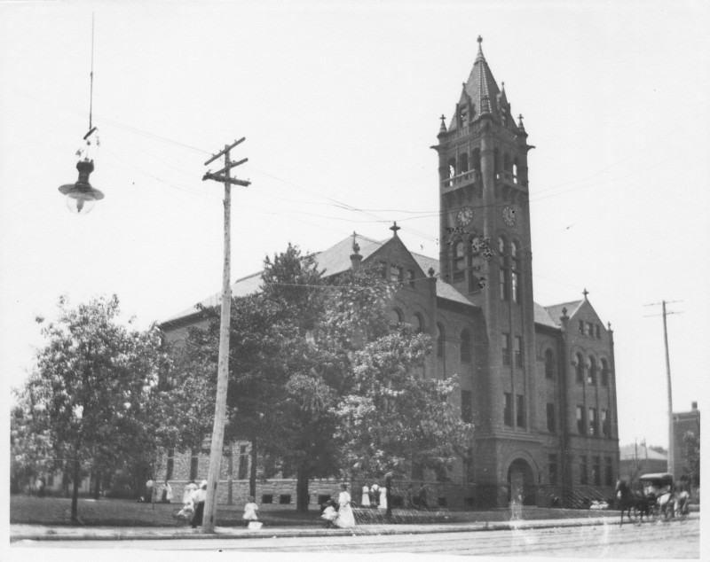
On June 18, 1912, the Urbana Herald-Courier reported, regarding the Waubonsie Trail, “The road is now finished to the western line of Vermilion county. It is proposed to run the road through Urbana to Indianapolis.” On November 19, a short piece in the Champaign Daily News confirmed, “The Waubonsie trail committee reported that the trail had been marked for its entire length through the county.”
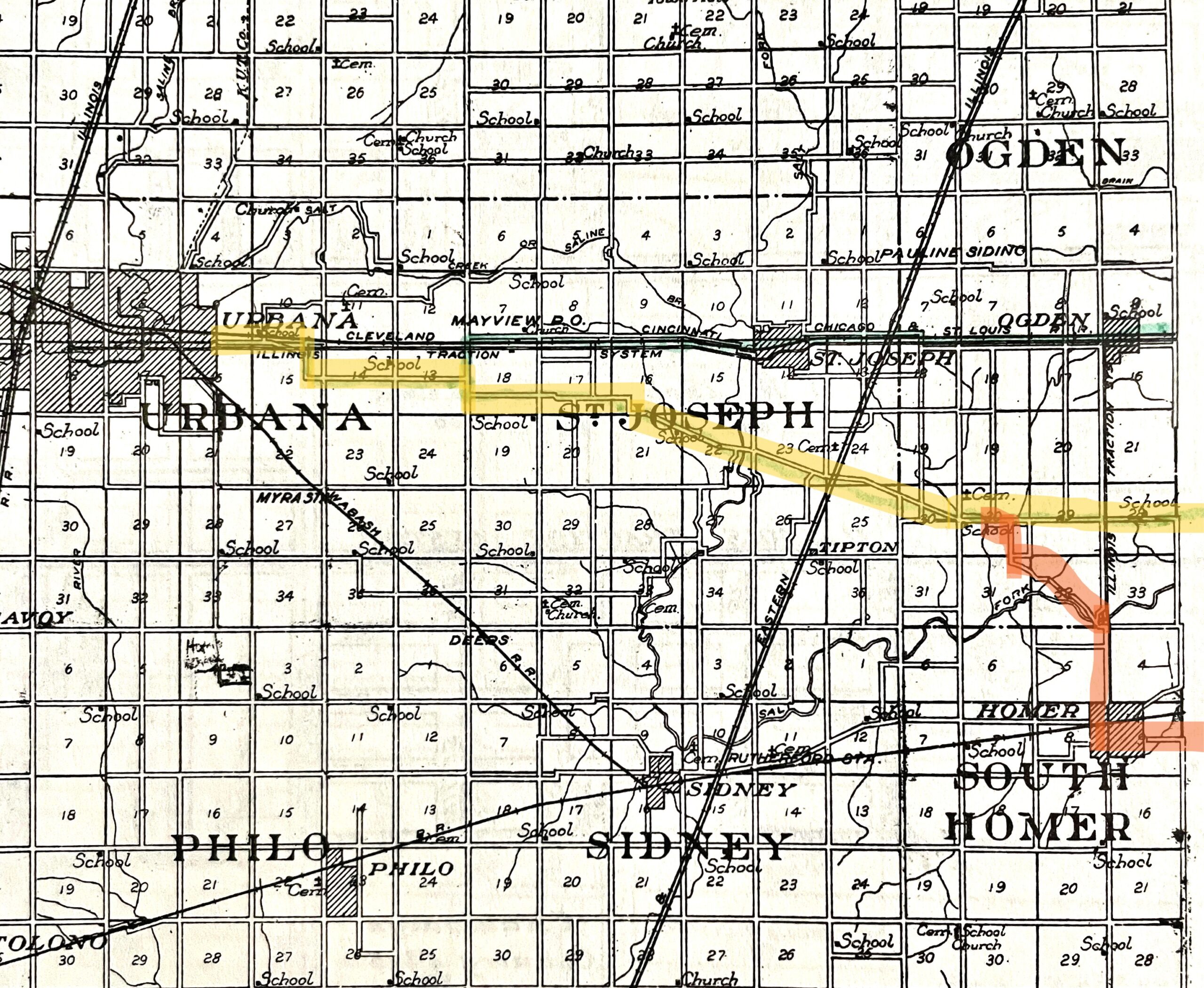
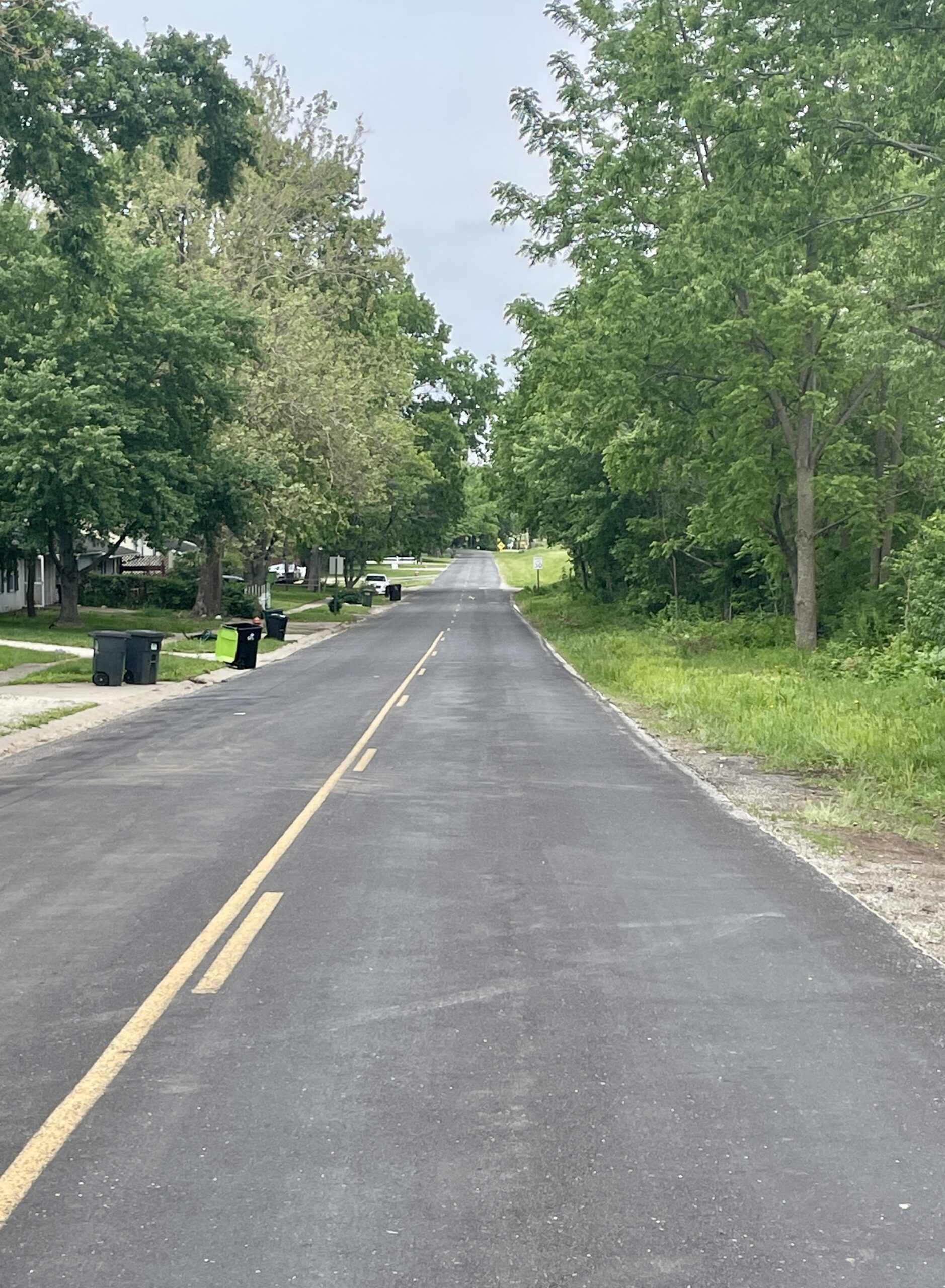
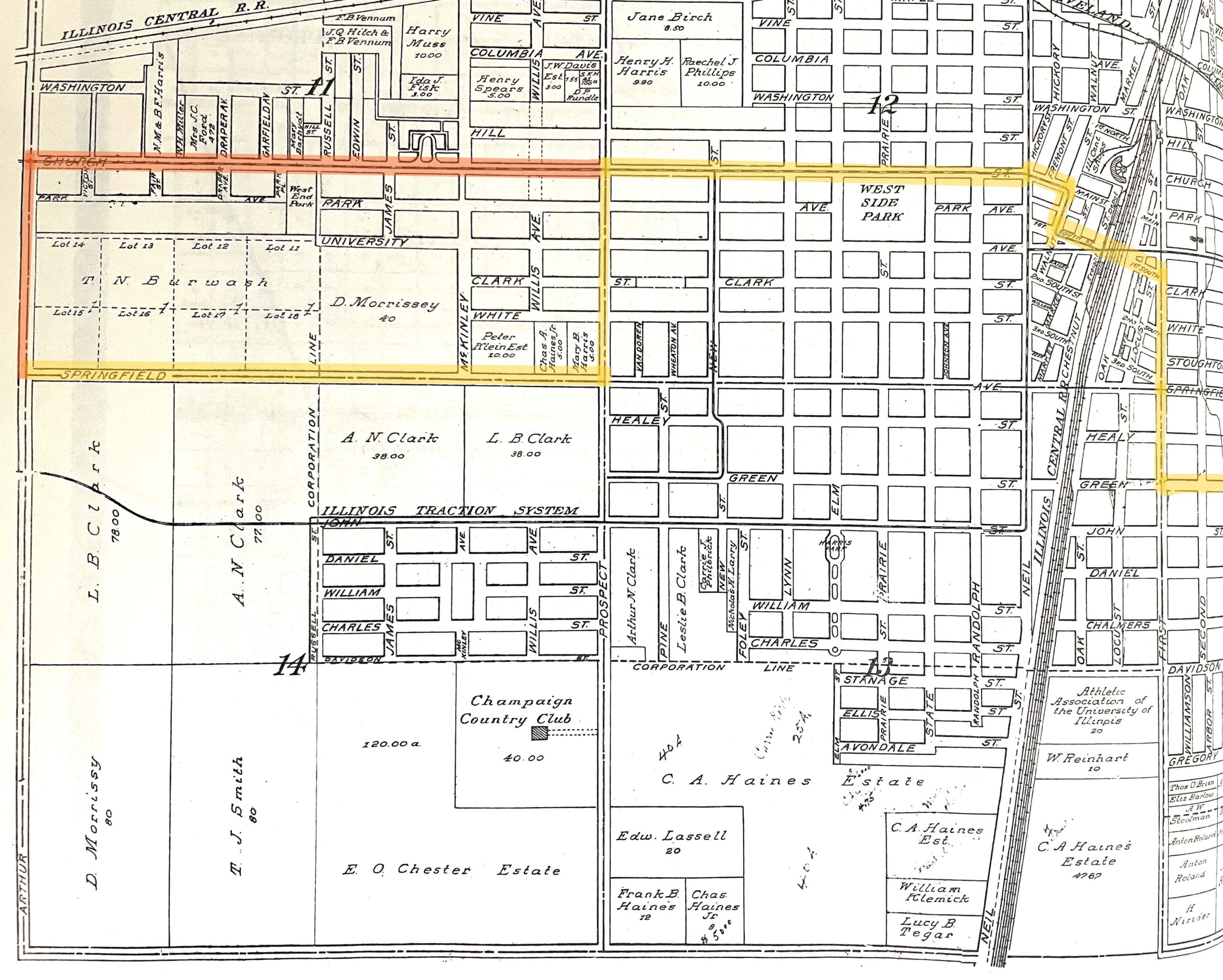
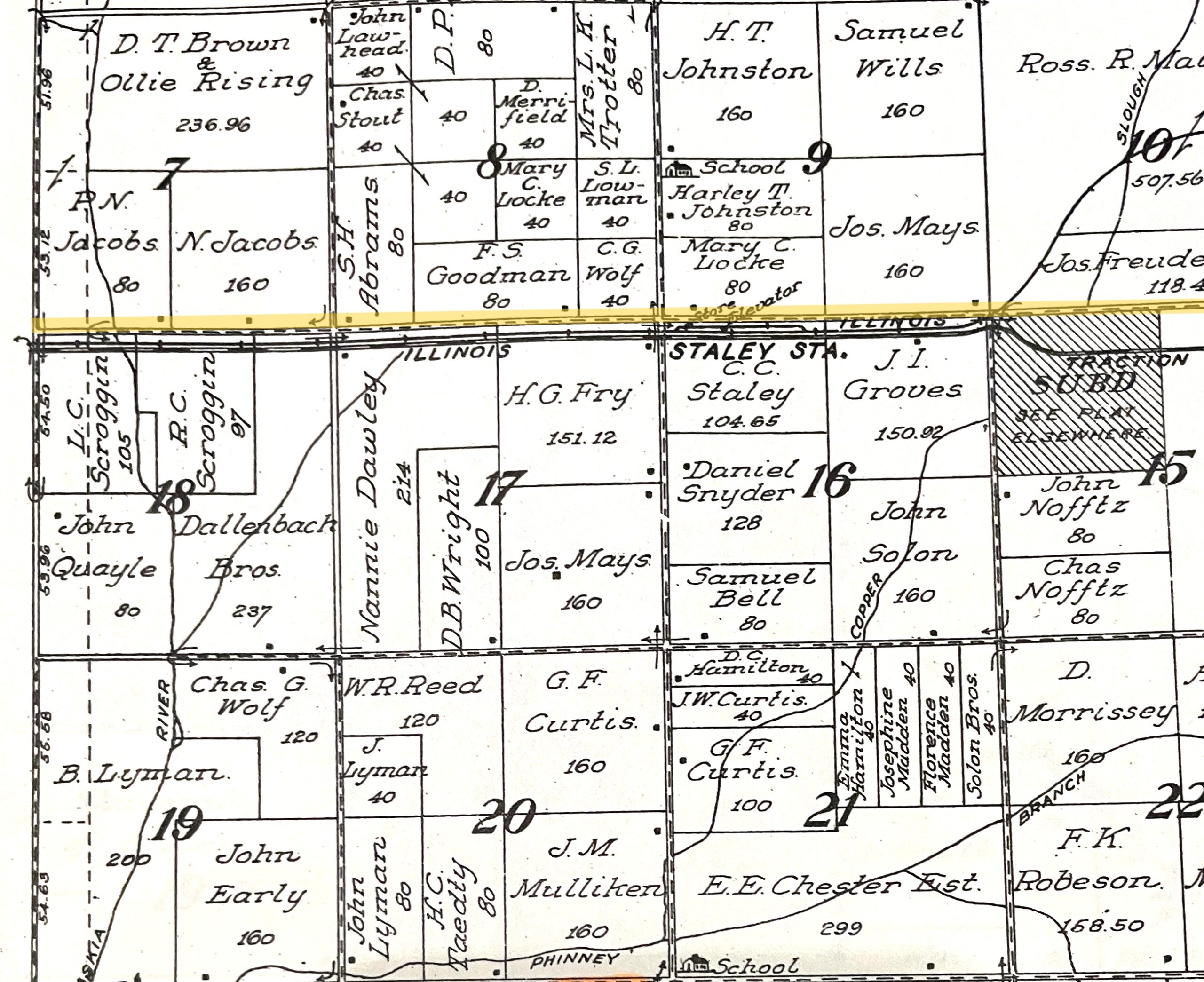
Our journey along the Waubonsie Trail west from Danville follows the Old State Road (present Homer Lake Road/County Hwy. 14) from the Vermilion County Line into Urbana on present Washington Street. This post-1915 route is highlighted yellow on the bottom left image from the 1913 Champaign County Atlas. The original 1912 alignment through Homer, described in our previous segment, is highlighted orange.
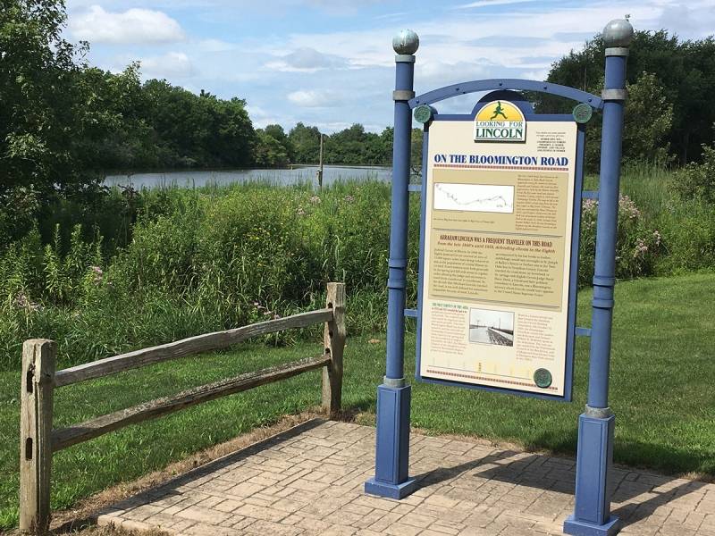
Articles in the Danville Commercial-News (Aug. 9, 1912) and Urbana Herald-Courier (Aug. 21) described the route the trail followed from east to west through Champaign and Urbana. Both have the trail coming into Champaign on Springfield Road, but they differ on the streets taken into downtown Champaign.
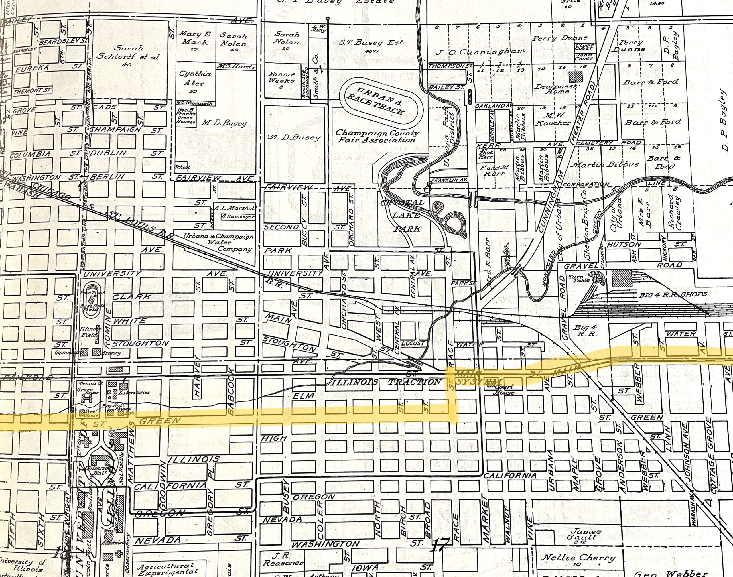
The Herald-Courier has the trail turning north on Prospect then heading east on Church into downtown. The Commercial-News report places the northward turn earlier, at “the Arthur farm road” (now Mattis Avenue), thence east on Church to Neil. It continues from there, “going out east on Main to Walnut and south to First South Street [now Chester St.], east to First street, south to Green and east to Race, north to Main street and east into downtown Urbana.”
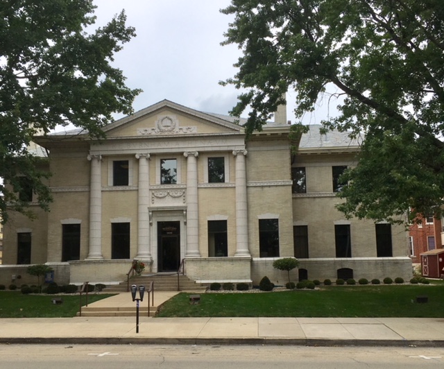
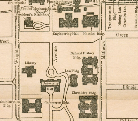
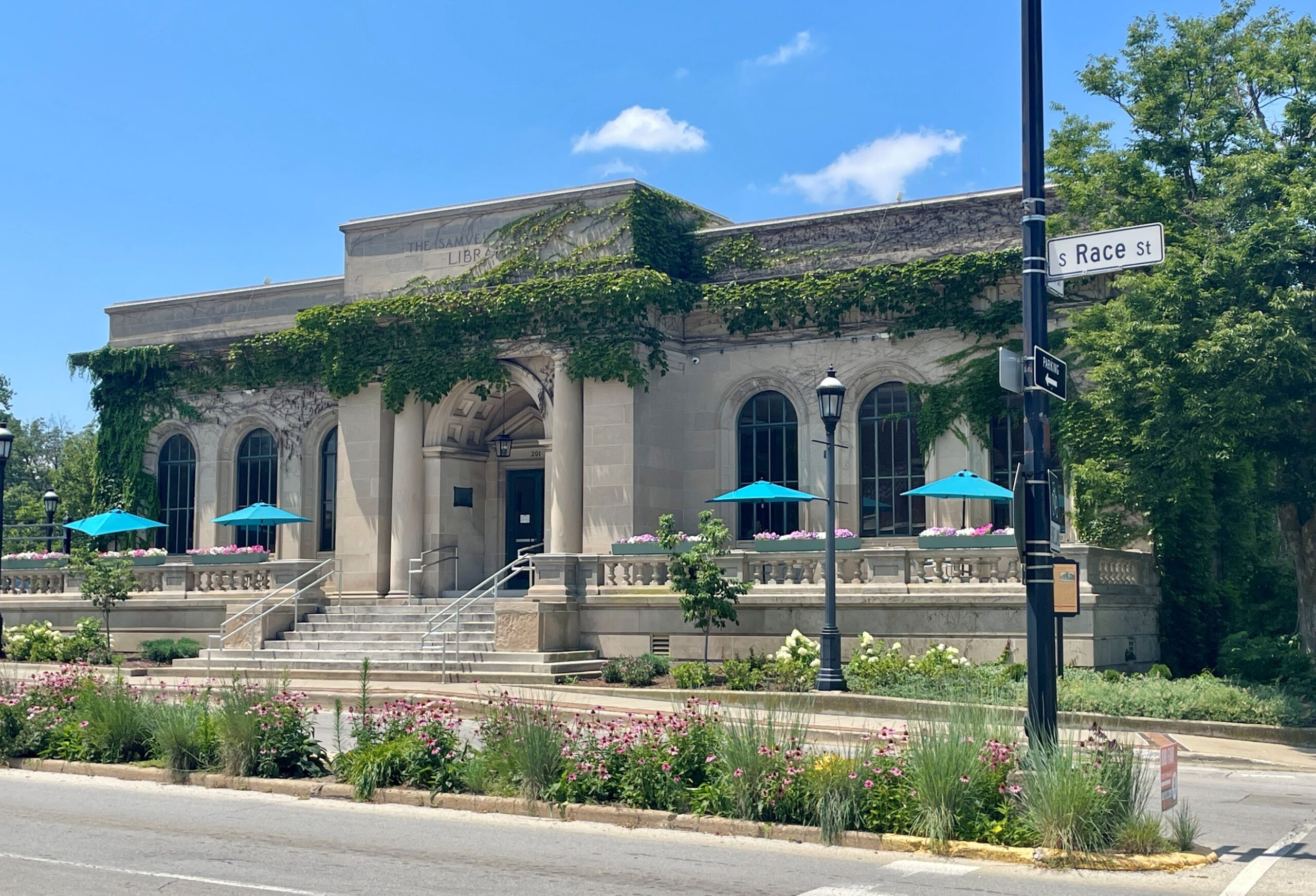
Pictured above are Champaign’s original public library, the Burnham Athenaeum (left, current home to Meyer-Capel Law); section from a 1916 University of Illinois campus map (center); and the Urbana Free Library (right). All sites a traveler on the Waubonsie Trail in 1916 would have passed.
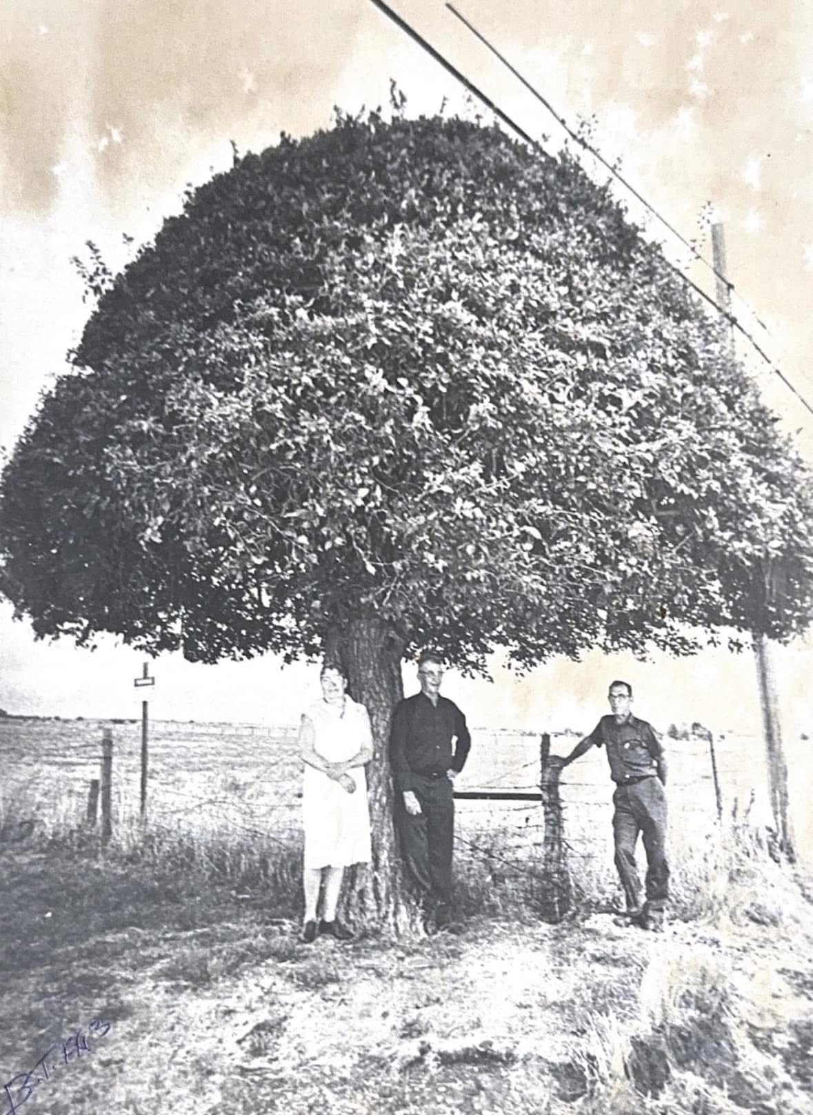
As the trail headed west out of Champaign on the Springfield Road (now Illinois 10) toward Bondville, it went passed a local landmark, the so-called “umbrella tree,” on the north side of the road just past Rising Road. The tree is on what was once the homestead of Nathaniel Jacobs, who bought the property in 1881.
According to his several-greats-grandson, the subject of a News-Gazette article about the family farm and the tree, Jacobs originally trimmed the tree in its distinctive gumdrop shape (pictured right), and successive generations have continued the tradition ever since.
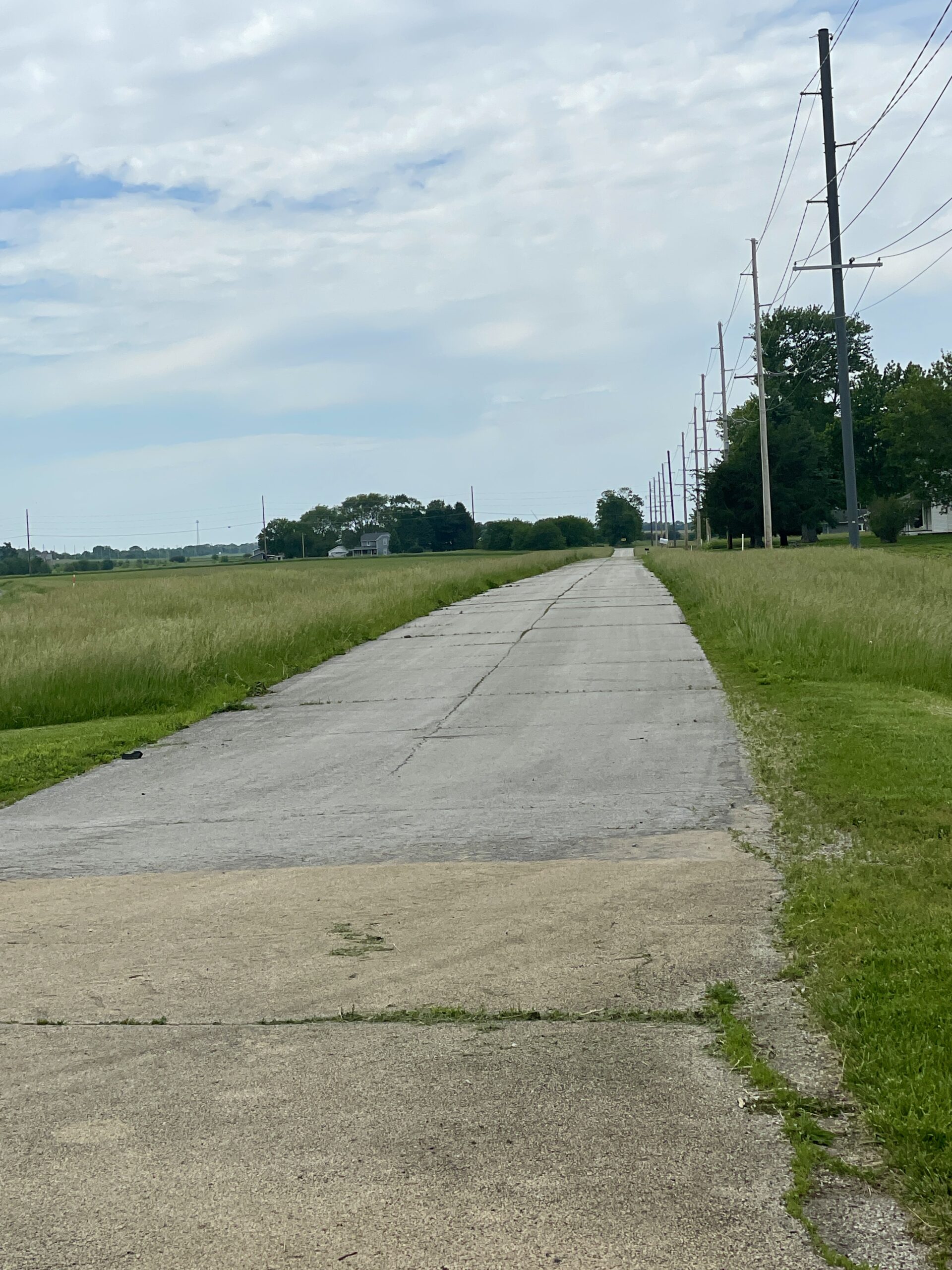
Just north of Seymour, where Route 10 now makes a gentle curve to pass north of the town, the original alignment continued due west to meet the road coming north out of Seymour (present CR 200 E). An old bit of pavement, dating to when the Waubonsie gave way to Route 10, still exists along that original alignment.
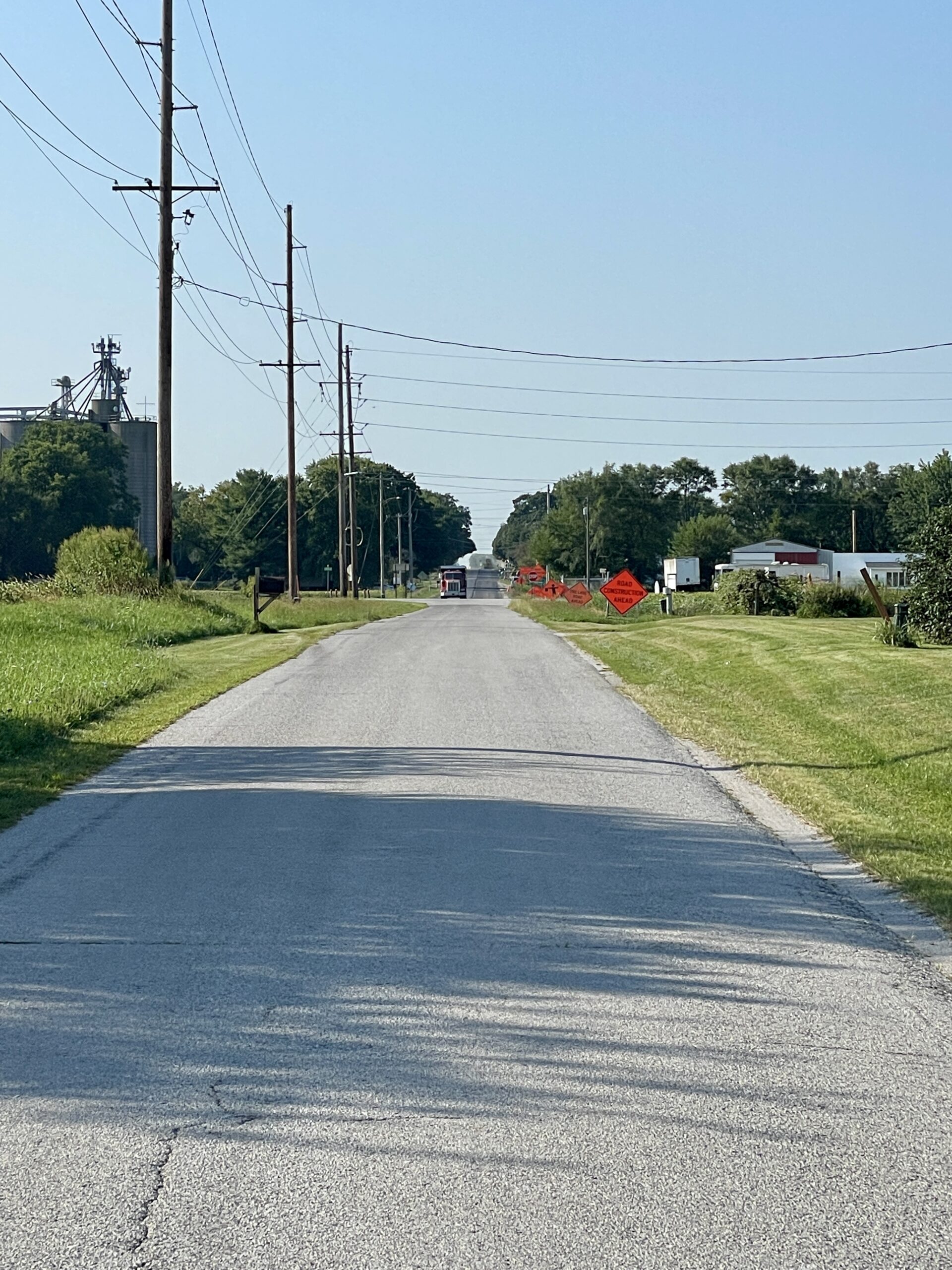
After heading south out of Seymour on present Co. Hwy. 6, 1912 newspaper accounts and the 1917 auto trails map depict different routes the Waubonsie followed to Monticello. We will look into that and continue our journey west to Monticello and Piatt County in our next segment.