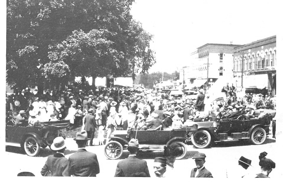
On July 5, 1912, the Monticello Bulletin reported, “D. K. McClure, who is looking after the blazing of the Waubonsie Trail through this county, is meeting with fair success. The establishment of this route through the county puts Monticello on the map for all touring motorists and . . . when well established will bring many a visitor here who otherwise would never see the beauty of our city. It’s a good thing – push it along.”
As an early motoring enthusiast, Daniel McClure would have been mindful of the road improvements that would follow the development of the Waubonsie Trail though his county. He owned D. K. McClure & Son, advertised as a “Garage and Supplies” business offering machine work and vulcanizing at 425 W. Washington Street. As we learned in Part One of this series, this “Fine Road” would indeed greatly improve auto travel between Decatur and Champaign, and Monticello was right along the way.
Accounts of the trail’s establishment in Champaign and Danville newspapers from around the same time provide detailed, but also conflicting, accounts of the Waubonsie’s route between Champaign and Monticello. The Commercial-News (Aug. 12) reported the road heading due east (highlighted yellow below), entering Champaign’s Colfax township on present County Hwy. 14 and turning north to Seymour on present County Hwy. 6. The Courier-Herald (Aug. 21) has the trail entering Scott Township (orange below), a couple of miles to the north, where it also turned north on Hwy. 6 for the shorter drive into Seymour.
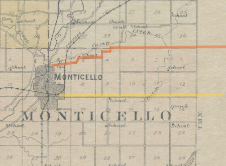
Monticello’s Mr. McClure throws us yet another possibility. In the previous week’s Bulletin (June 28), he is reported as saying that although the route to Champaign had not yet been determined, it “will probably continue . . . east to the Illinois Central track south of Savoy and follow the track road north into Champaign” thus extending the yellow route several miles further east.
The official Illinois “Marked Through Routes” maps from 1917 to the early 1920s show the Waubonsie Trail following the northern (orange) route from Champaign County to Monticello. As we continue our journey west, that’s the route we’ll follow. It is also, in my opinion, the most interesting of the three!
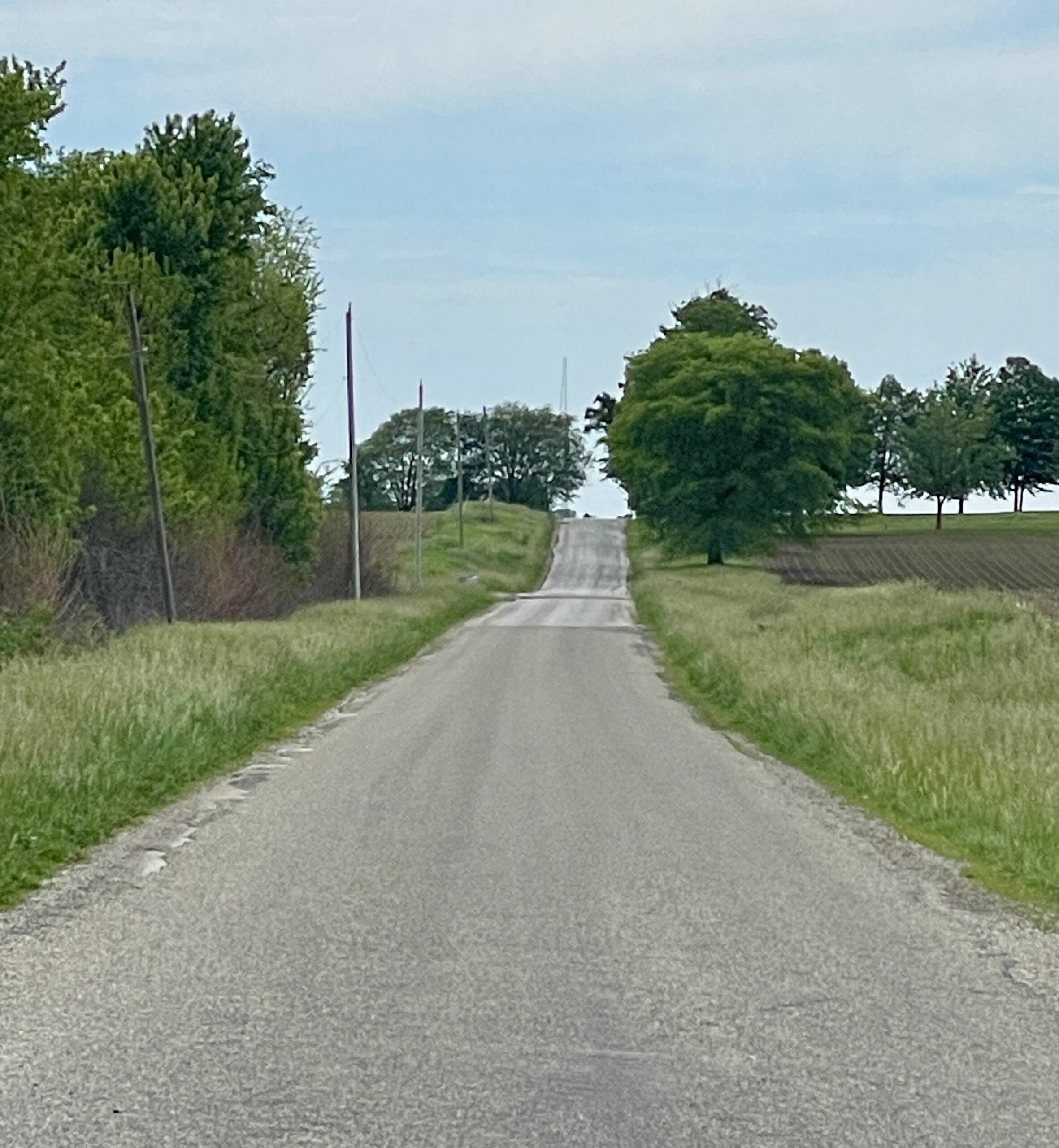
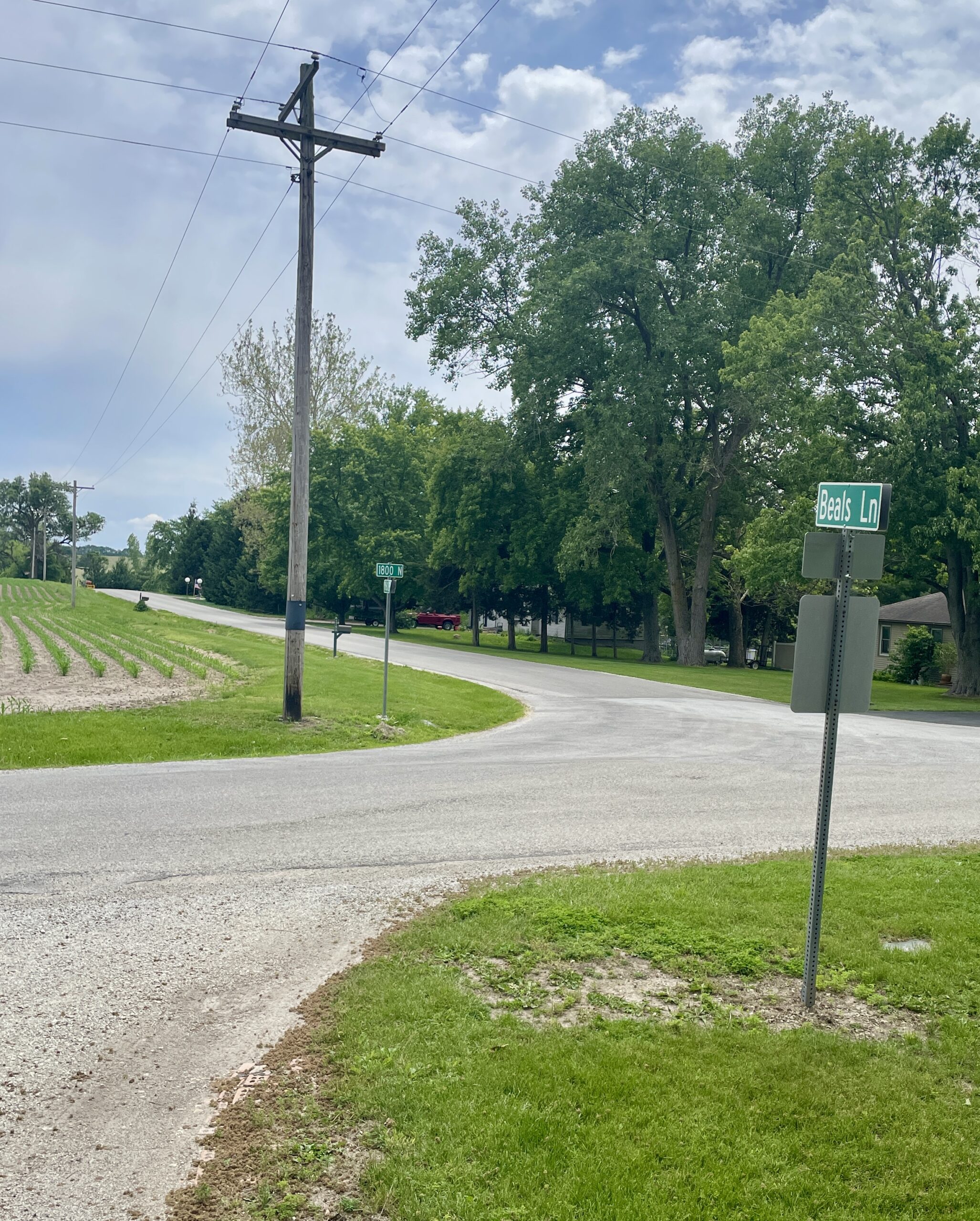
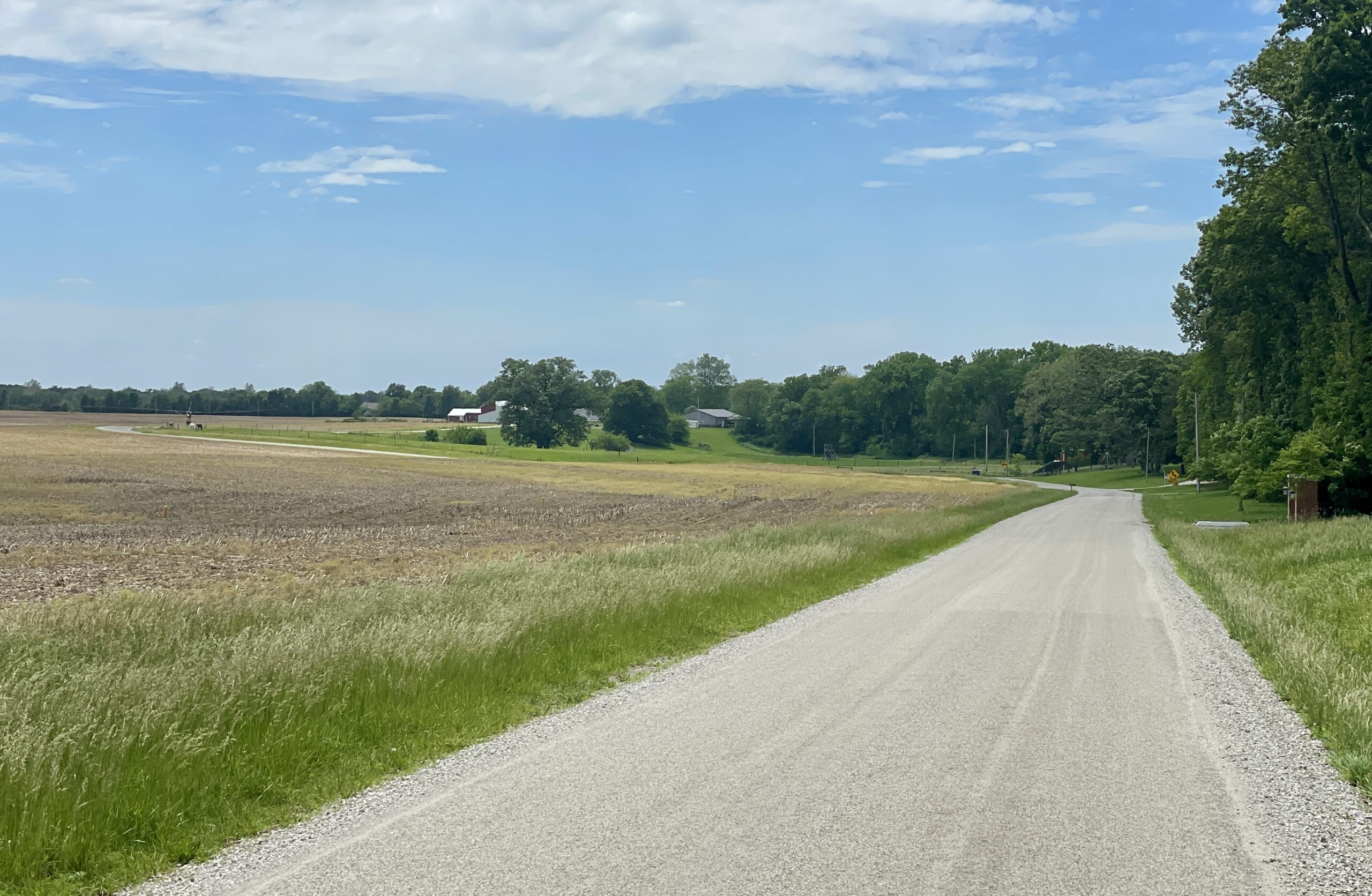
Heading south out of Seymour, in a little over two miles the trail turned west on Champaign Co. Rd. 1200 N and crossed into Piatt County two miles down the road. Here it becomes Piatt CR 1800 N (pictured right, looking west). This road continued west for a little more than three miles, where it made a slight jog south at present Beals Road (below left, looking southwest) and then continued west/southwest toward Monticello as CR 1765 (Township Road, below right).
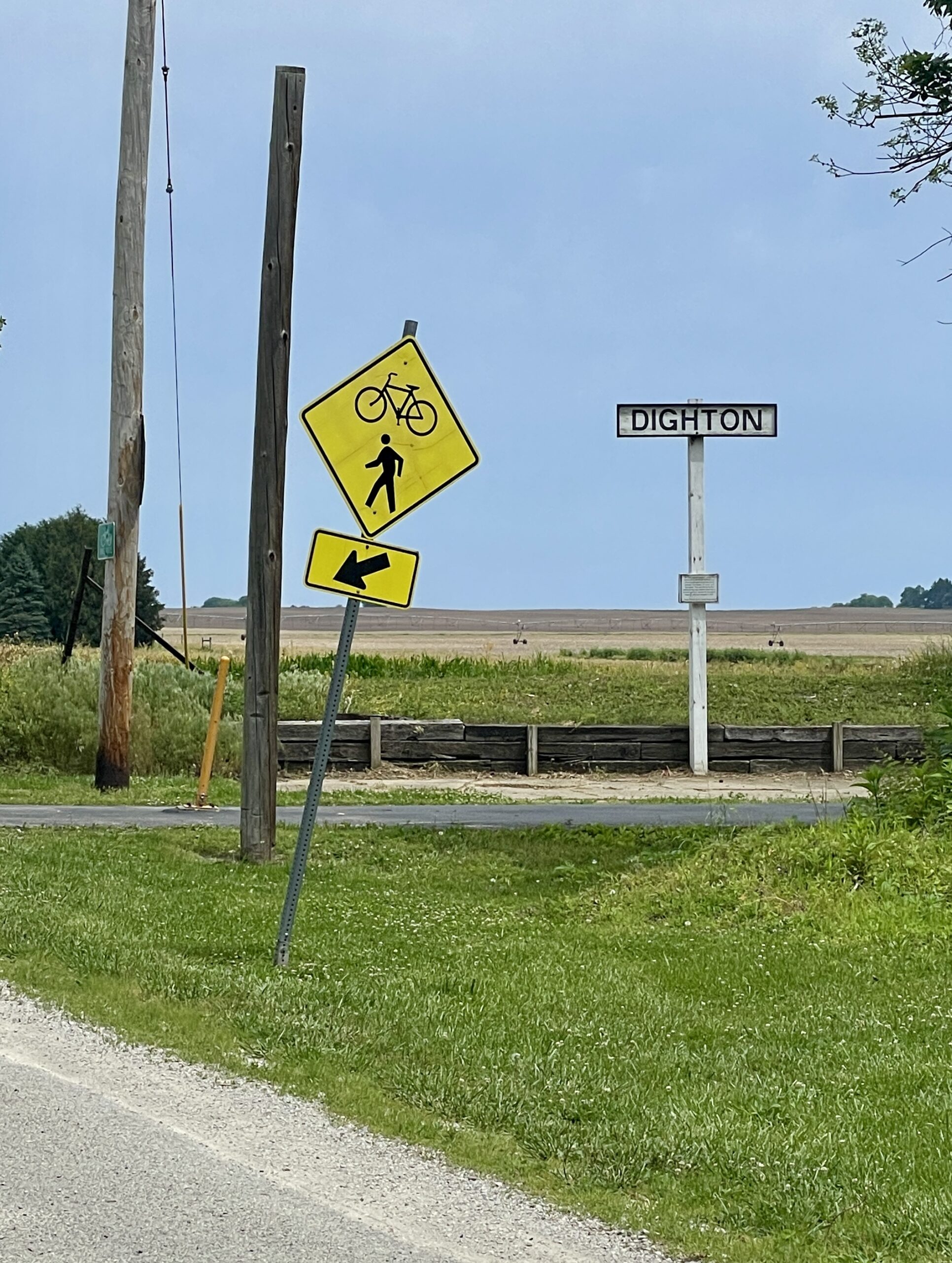
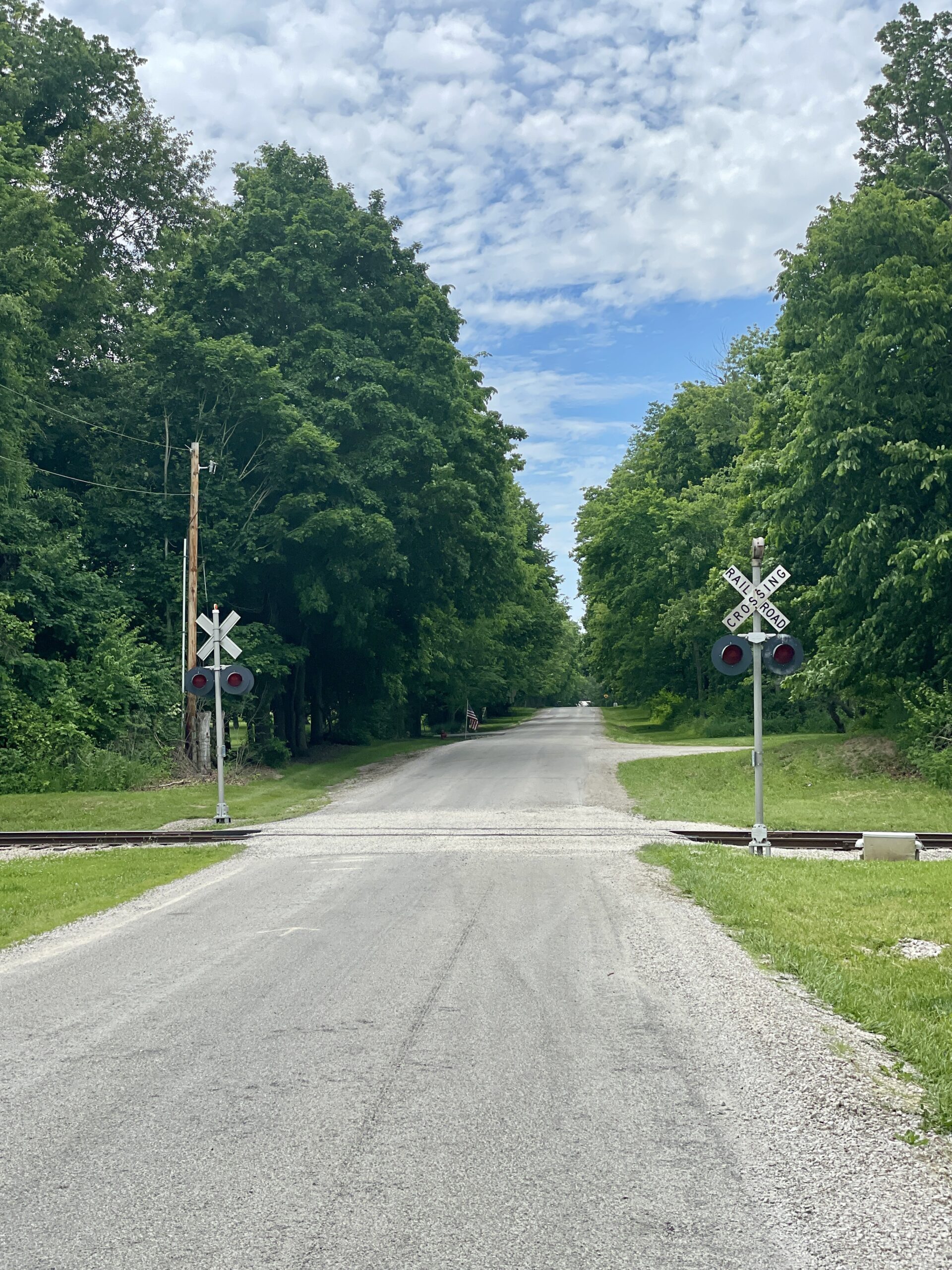
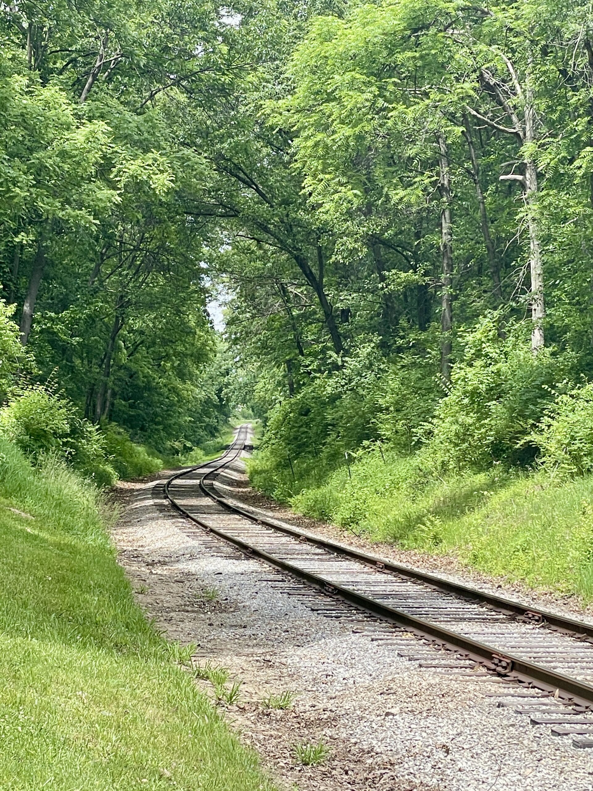
As the trail grew close to Monticello, it passed the Dighton School and crossed what was then the Illinois Terminal Interurban line. This bit of railway, abandoned when the Interurban ceased running in the mid 1950s, was later purchased and rebuilt by the Monticello & Sangamon Valley Railway Historical Society. The Society began operating steam excursions in the 1970s and continues service at the Monticello Railway Museum.
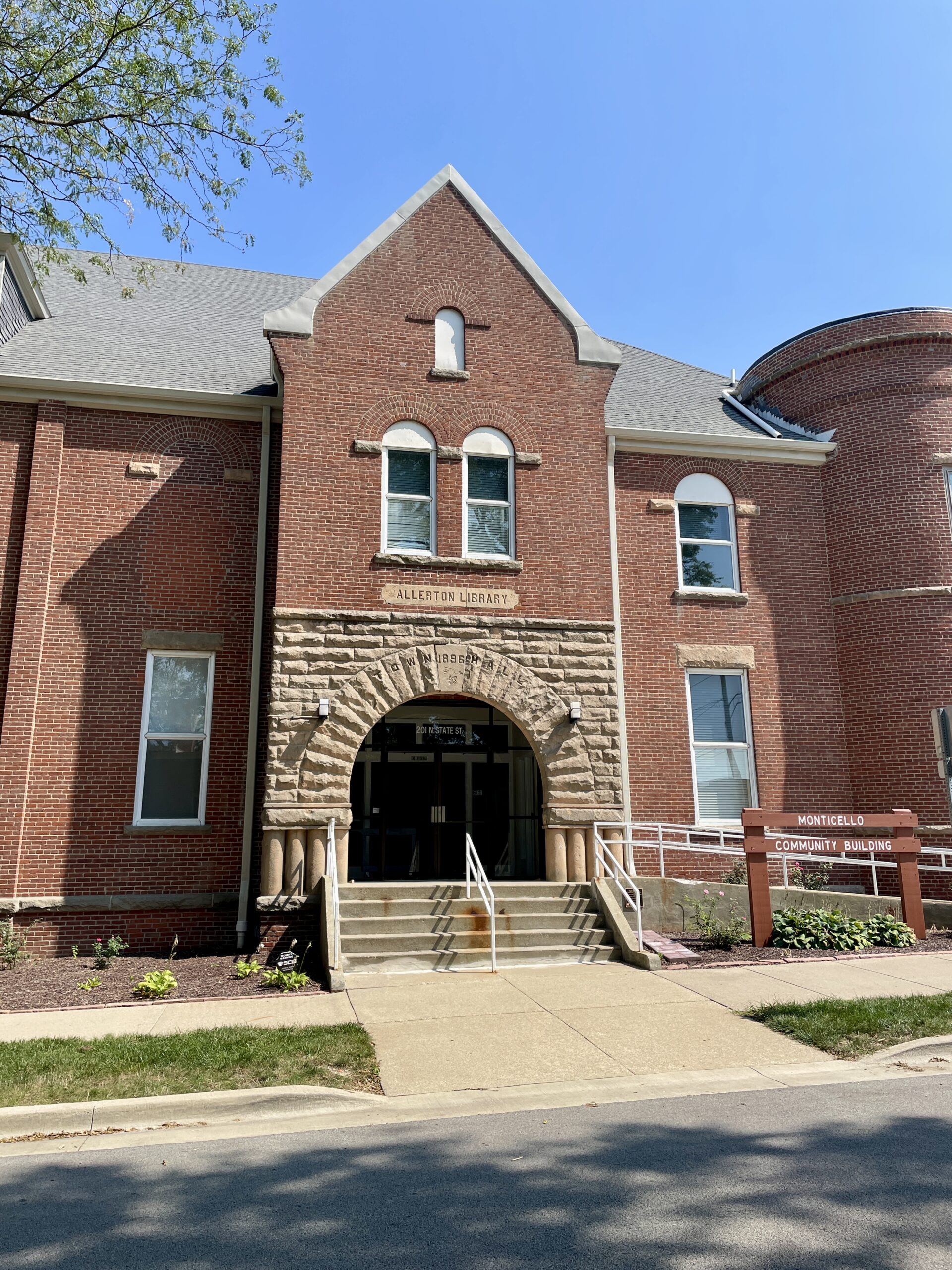
It’s likely that the Waubonsie Trail initially turned south on State Street at the Township Cemetery, running past the famed “Millionaires Row” of mansions (now a National Historic District) and the original Allerton Public Library building before turning back west along the north side of the Courthouse Square on Washington Street. In late summer/early fall of 1912, after the “public road between the city limits and the cemetery” (Illinois 105 now) was completed and paved (the contract letting reported in the Bulletin, June 7), the trail likely shifted to that route and passed through town on Market Street.
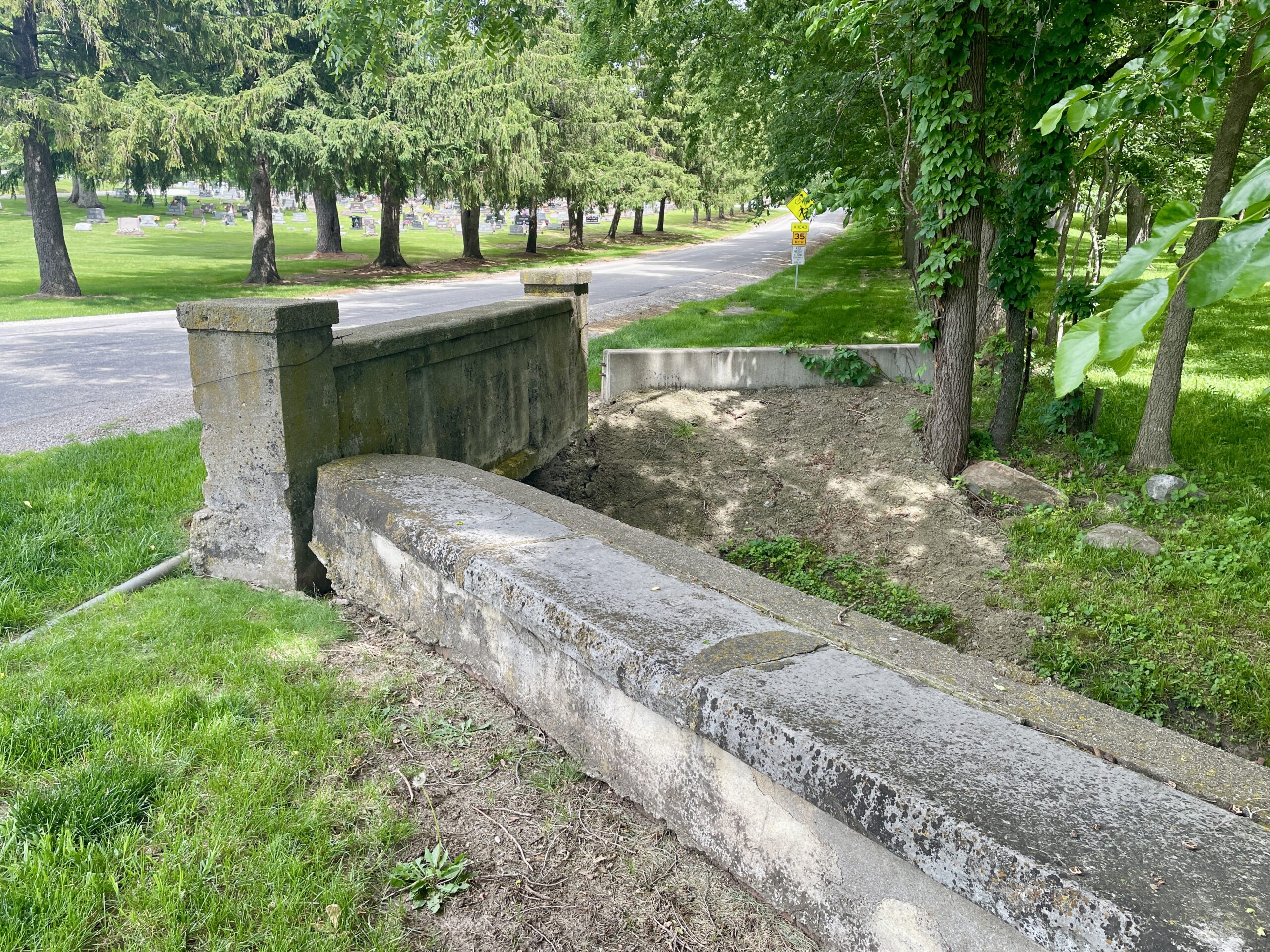
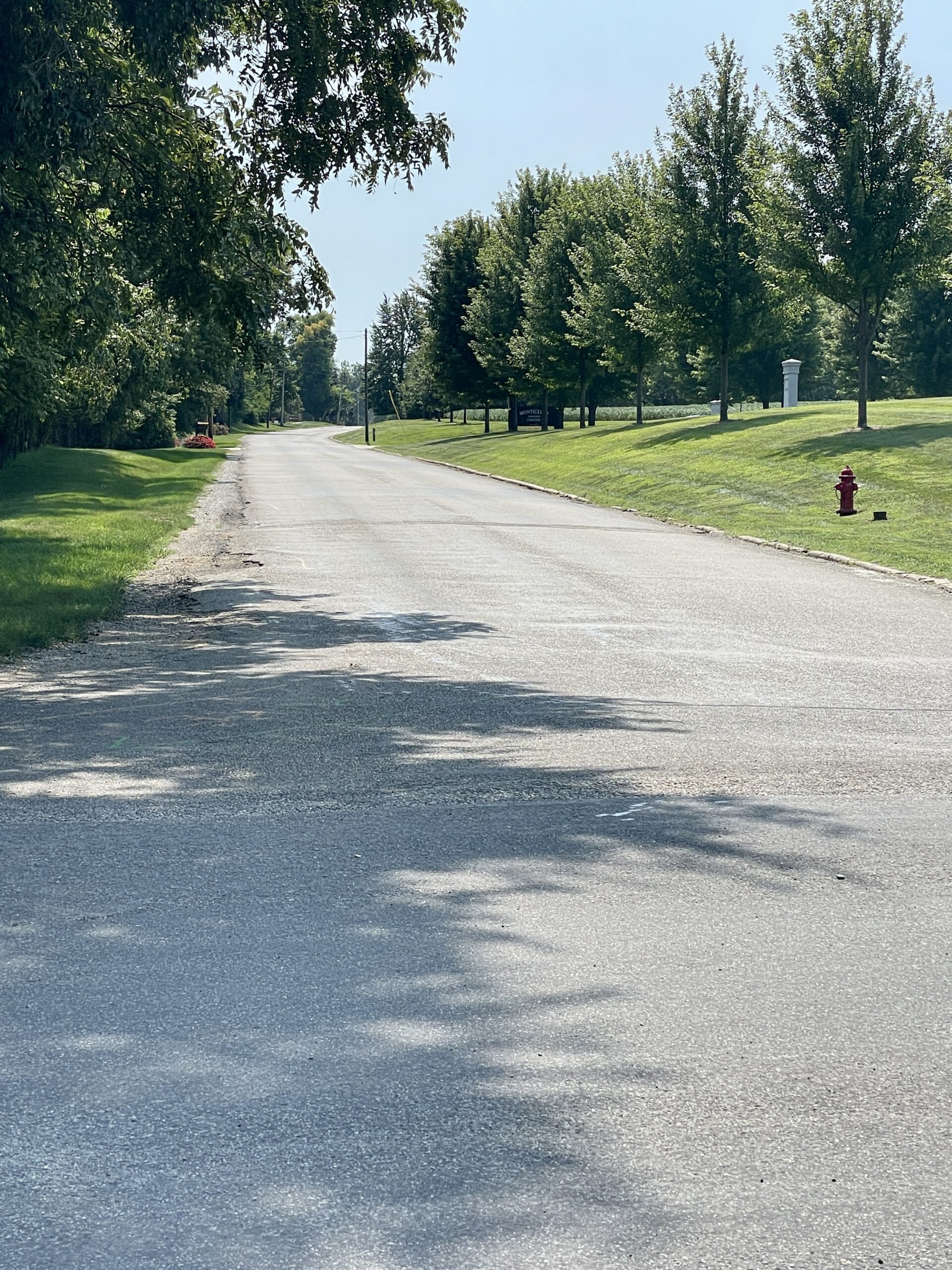
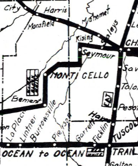
The road alignments on early Illinois “Marked Through Routes” maps were more representations than accurate, to scale renditions. This really shows on the 1917 map (right), which shows the Waubonsie Trail angling southwest out of Bement toward Cerro Gordo. That “route” is the Wabash Rail Line, not a road. The Waubonsie would have continued south from Bement for one mile and then due west just as Illinois 105 does today, through Cerro Gordo and on to Decatur. Below are some views along the way.
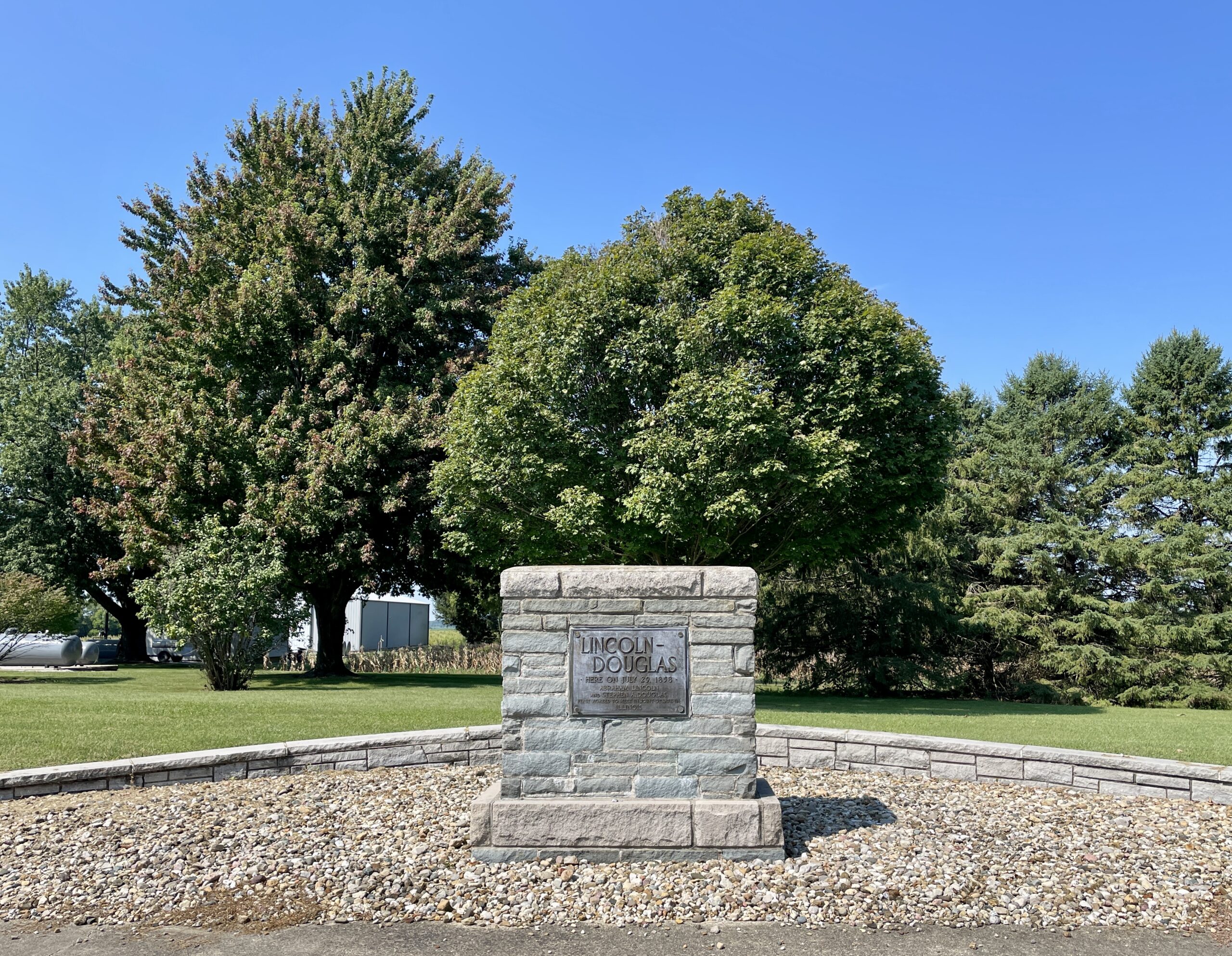
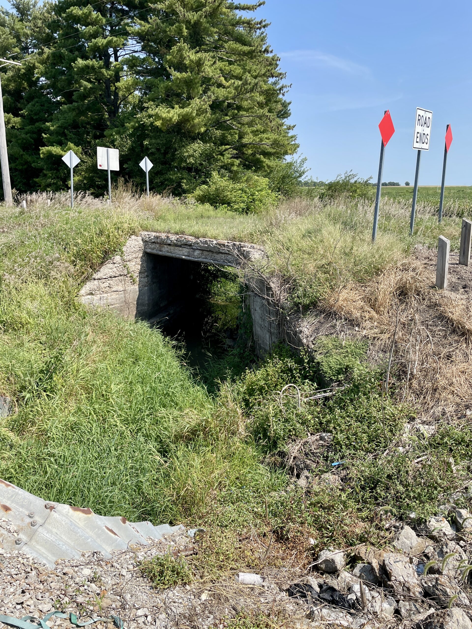
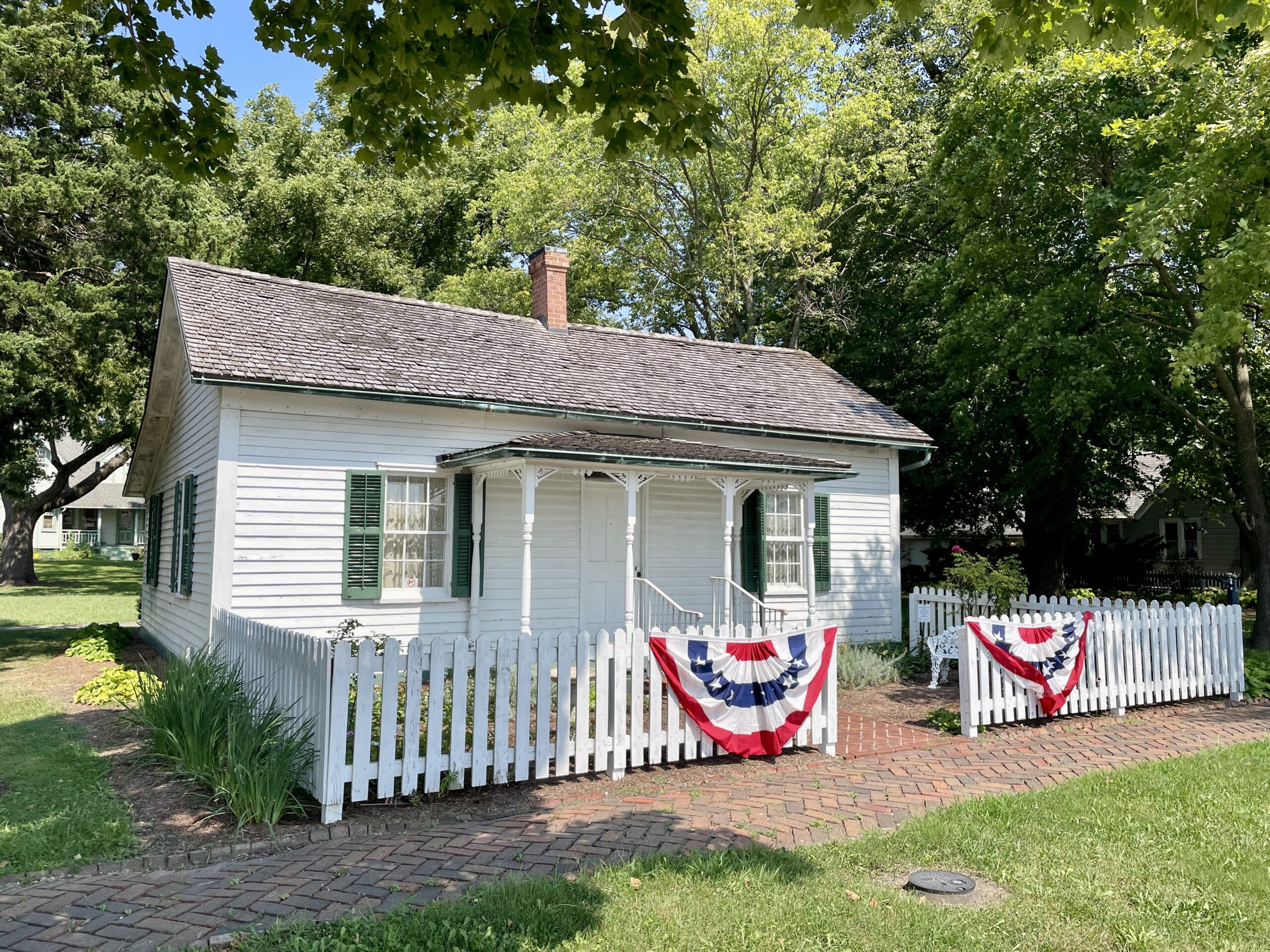
The route the Wabonsie Trail, hailed as “The Short Way Back to the Farm” by its promoters, proved to be a short-lived part of local highway history. The route it followed through Piatt County became part of State Bond Issue Route 10 in 1924. When the Route 10 designation was shifted west through Clinton in 1939, the highway from White Heath to Cerro Gordo was redesignated as Illinois 47. Then in 1945 Route 47 was redirected west out of Monticello toward Cisco, and the highway from Monticello through Bement and Cerro Gordo became Illinois 105. With the exception of a few miles in Vermilion County, the entire route of the Waubonsie Trail can still be driven today from Danville to Decatur and beyond.